|
search place name
|
||
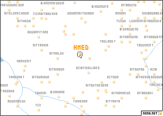
Hmed (Azilal, Morocco)Hmed is a town in the Azilal region of Morocco. An overview map of the region around Hmed is displayed below.
regional and 3d topo map of Hmed, Morocco ::
Hmed airports ::
The nearest airport is OZZ - Ouarzazate, located 76.6 km south of Hmed.
Other airports nearby include RAK - Marrakech Menara (92.0 km west), CMN - Casablanca Mohammed V Intl (200.3 km north), Nearby towns ::
Douar Aït Mansour (1.6km east) //
Azib Tissiliane (3.7km south) //
Aït Malek (4.7km west) //
Douar Tizi nʼAït Salah (5.1km east) //
Douar Sidi Yakoub (5.8km north) //
Douar Anebed (6.4km north west) //
Aït Mimoun (6.0km south west) //
Taglaout (5.9km north east) //
Aït Haddou (6.9km south east) //
Aït Hmad Ou Naser (7.1km north west) //
Douar Aït Lachemi (7.3km north east) //
Douar Aït Miguirt (7.3km north east) //
Aït Lahsene (7.9km south) //
Douar nʼAït Brahim Ou Nasser (8.1km north west) //
Aït Outsouene (8.1km south east) //
Timlilt Zouiat (8.4km north) //
Aït Aimi (8.4km south west) //
Aït Wankir (8.8km south east) //
Aztoun (8.4km south east) //
Assammar (9.2km south east) //
[all distances 'as the bird flies' and approximate] 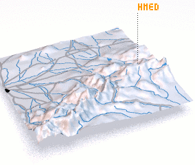 Places with similar names to Hmed, Morocco ::
Disclaimer :: Information on this page comes without warranty of any kind |
||
|
Where is Hmed? Elevation and coordinates ::
Latitude (lat): 31°37'0"N Longitude (lon): 7°4'0"W
Elevation (approx.): 1862m (map arrows pan, magnifying glasses zoom) |
||
|
Visiting Hmed? Hotel/Accommodation ::
Book a hotel in Hmed Travel Guide ::
Buy a travel guide for Morocco rental cars ::
car rental offers GPS waypoint ::
download a GPX waypoint (PoI) of Hmed for your GPS receiver
|
||