|
search place name
|
||
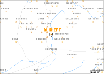
Id Lkheft (Morocco)Id Lkheft is a town in Morocco. An overview map of the region around Id Lkheft is displayed below.
regional and 3d topo map of Id Lkheft, Morocco ::
Id Lkheft airports ::
The nearest airport is AGA - Agadir Inezgane, located 130.4 km north of Id Lkheft.
Other airports nearby include TTA - Tan Tan Plage Blanche (163.3 km south west), TIN - Tindouf (227.5 km south east), Nearby towns ::
Trojdal (1.6km west) //
Id Hammou (2.5km north west) //
Id Bou Hammou (3.2km east) //
Id Ben Addi (4.0km north west) //
Id Haitouf (4.0km north west) //
Id Ali Ou Mohand (3.7km south east) //
Id Abeid (3.7km north west) //
Id Boukkou (3.7km south west) //
Bou Izakarn (5.6km south) //
Id Abd (6.1km north west) //
Id Zemmid (6.1km north east) //
Id Amer (6.4km north west) //
Id Abdallah Ou Saïd (7.6km north) //
Indichene (6.7km west) //
Tirhouza (7.5km north east) //
Id Abourene (7.5km north west) //
Id Allougane (8.5km north east) //
Id Ou Belkassem (8.5km north west) //
Ouisgane (9.8km south east) //
[all distances 'as the bird flies' and approximate] 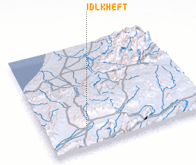 Places with similar names to Id Lkheft, Morocco :: Disclaimer :: Information on this page comes without warranty of any kind |
||
|
Where is Id Lkheft? Elevation and coordinates ::
Latitude (lat): 29°13'0"N Longitude (lon): 9°44'0"W
Elevation (approx.): 748m (map arrows pan, magnifying glasses zoom) |
||
|
Visiting Id Lkheft? Hotel/Accommodation ::
Book a hotel in Id Lkheft Travel Guide ::
Buy a travel guide for Morocco rental cars ::
car rental offers GPS waypoint ::
download a GPX waypoint (PoI) of Id Lkheft for your GPS receiver
|
||