|
search place name
|
||
Id Roufa (Tiznit, Morocco)Id Roufa is a town in the Tiznit region of Morocco. An overview map of the region around Id Roufa is displayed below.
regional and 3d topo map of Id Roufa, Morocco ::

Id Roufa airports ::
The nearest airport is TTA - Tan Tan Plage Blanche, located 135.2 km south west of Id Roufa.
Other airports nearby include AGA - Agadir Inezgane (137.0 km north east), TIN - Tindouf (256.8 km south east), Nearby towns ::
Medarsa (0.0km north) //
Dar Igourramene (1.6km west) //
El Arba des Mesti (1.9km north) //
Sidi Hamed Salah (1.9km south) //
Iourane (1.9km south) //
Id Ou Bel Hach (2.5km north west) //
Agadir Igourrou (3.2km west) //
Sidi Bouderbal (3.2km east) //
Ihamchioun (3.2km east) //
Asendi (4.0km south west) //
Anbed (4.0km north west) //
Id Chebora (4.0km south east) //
Sidi Borja (4.0km south east) //
Id Ou Gni (3.7km north west) //
Isomai (3.7km north west) //
El Mrabtine (4.9km north east) //
Iguirene Brahim (4.9km north east) //
Tafarat (4.9km east) //
Tigual (5.6km south) //
Iglinahem (5.8km south) //
Id Zecraui (5.8km south) //
Lala Beïd Oula (5.8km north) //
Ihandarene (5.8km north) //
Tahanut en Bel-la (5.2km east) //
Agadir Laaseri (5.2km west) //
Id el Hach (5.2km west) //
Id Ali U Mehand (5.2km west) //
Laarabsa (5.8km south) //
Id Bouhousdine (5.8km north) //
[all distances 'as the bird flies' and approximate] 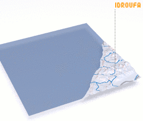 Places with similar names to Id Roufa, Morocco ::
// Idrifaia (RO)
Disclaimer :: Information on this page comes without warranty of any kind |
||
|
Where is Id Roufa? Elevation and coordinates ::
Latitude (lat): 29°15'0"N Longitude (lon): 10°7'0"W
Elevation (approx.): 310m (map arrows pan, magnifying glasses zoom) |
||
|
Visiting Id Roufa? Hotel/Accommodation ::
Book a hotel in Id Roufa Travel Guide ::
Buy a travel guide for Morocco rental cars ::
car rental offers GPS waypoint ::
download a GPX waypoint (PoI) of Id Roufa for your GPS receiver
|
||