|
search place name
|
||
Izianene (Nador, Morocco)Izianene is a town in the Nador region of Morocco. An overview map of the region around Izianene is displayed below.
regional and 3d topo map of Izianene, Morocco ::

Izianene airports ::
The nearest airport is AHU - Al Hociema Cherif El Idrissi, located 32.8 km west of Izianene.
Other airports nearby include MLN - Melilla (50.7 km east), OUD - Oujda Angads (147.5 km east), TTU - Tetouan Saniat Rmel (174.6 km west), FEZ - Fez Saiss (191.6 km south west), Nearby towns ::
Imelkiounene (1.7km south west) //
Jharaouiene (1.9km north) //
Mhâjâr (2.4km south west) //
Isounatene (2.4km north east) //
Tarrhant (3.0km west) //
Taourert (3.7km north) //
Timaribdine (3.6km north east) //
Aït ʼAbd en Noûr (3.6km south west) //
Ijzarounene (4.0km north) //
Aït Jeïat (4.8km south west) //
Tazagoun (4.8km north west) //
Taliouîne (4.8km north west) //
Agbene (5.6km south) //
Laʼsara (5.7km south west) //
Tifziouine (6.1km north east) //
Souab (5.9km north west) //
Eguebdane (7.6km south) //
Lʼajouchene (7.7km south) //
Tarîfa (7.1km north west) //
Ijidirene (8.2km north west) //
[all distances 'as the bird flies' and approximate] 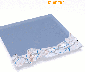
Disclaimer :: Information on this page comes without warranty of any kind |
||
|
Where is Izianene? Elevation and coordinates ::
Latitude (lat): 35°8'0"N Longitude (lon): 3°29'0"W
Elevation (approx.): 695m (map arrows pan, magnifying glasses zoom) |
||
|
Visiting Izianene? Hotel/Accommodation ::
Book a hotel in Izianene Travel Guide ::
Buy a travel guide for Morocco rental cars ::
car rental offers GPS waypoint ::
download a GPX waypoint (PoI) of Izianene for your GPS receiver
|
||