|
search place name
|
||
Khrouta (Kenitra, Morocco)Khrouta is a town in the Kenitra region of Morocco. An overview map of the region around Khrouta is displayed below.
regional and 3d topo map of Khrouta, Morocco ::

Khrouta airports ::
The nearest airport is NNA - Kentira Kenitra, located 60.8 km south west of Khrouta.
Other airports nearby include RBA - Rabat Sale (91.3 km south west), MEK - Meknes Bassatine (110.6 km south east), TNG - Tanger Ibn Batouta (114.4 km north), TTU - Tetouan Saniat Rmel (124.2 km north east), Nearby towns ::
Oulad Sdoud (2.4km south west) //
El Aouakla (3.0km west) //
El Aouakla (3.6km north west) //
Oulad Abd es Slam (4.0km north) //
El Kihichiine (3.6km south east) //
Oulad Moussa Korima (5.6km north) //
Karia Oulad Daouia (4.9km west) //
Oulad Messaoud (4.9km east) //
Douar Dehisset (4.9km east) //
Oulad Ayad (6.3km north east) //
Mouaouka (6.3km north east) //
Sdoud (6.4km west) //
Boumehidi (6.4km east) //
El Amiriine (6.4km east) //
Oulad Moussa (7.6km south) //
Kabala (7.2km north east) //
Oulad Talha (7.1km north west) //
Ragraga (8.7km south east) //
[all distances 'as the bird flies' and approximate] 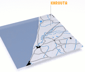 Places with similar names to Khrouta, Morocco ::
Disclaimer :: Information on this page comes without warranty of any kind |
||
|
Where is Khrouta? Elevation and coordinates ::
Latitude (lat): 34°43'0"N Longitude (lon): 6°10'0"W
Elevation (approx.): 10m (map arrows pan, magnifying glasses zoom) |
||
|
Visiting Khrouta? Hotel/Accommodation ::
Book a hotel in Khrouta Travel Guide ::
Buy a travel guide for Morocco rental cars ::
car rental offers GPS waypoint ::
download a GPX waypoint (PoI) of Khrouta for your GPS receiver
|
||