|
search place name
|
||
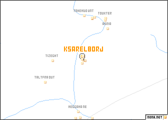
Ksar el Borj (Er Rachidia, Morocco)Ksar el Borj is a town in the Er Rachidia region of Morocco. An overview map of the region around Ksar el Borj is displayed below.
regional and 3d topo map of Ksar el Borj, Morocco ::
Ksar el Borj airports ::
The nearest airport is ERH - Er-rachidia Moulay Ali Cherif, located 55.7 km east of Ksar el Borj.
Other airports nearby include OZZ - Ouarzazate (208.9 km south west), Nearby towns ::
Tasguit (0.0km north) //
El Hara (0.0km north) //
Tadighoust (0.3km south east) //
Igherem nʼChérif (0.4km north west) //
Bori el Kdim (0.8km south west) //
Aourir (0.8km north) //
Tizeght (5.9km west) //
Asria (8.3km north east) //
Taltfraout (8.9km south west) //
Timezguit (9.7km north east) //
[all distances 'as the bird flies' and approximate] 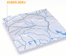 Places with similar names to Ksar el Borj, Morocco ::
// Qaşr al Burayj (SY)
Disclaimer :: Information on this page comes without warranty of any kind |
||
|
Where is Ksar el Borj? Elevation and coordinates ::
Latitude (lat): 31°49'0"N Longitude (lon): 4°58'0"W
Elevation (approx.): 1111m (map arrows pan, magnifying glasses zoom) |
||
|
Visiting Ksar el Borj? Hotel/Accommodation ::
Book a hotel in Ksar el Borj Travel Guide ::
Buy a travel guide for Morocco rental cars ::
car rental offers GPS waypoint ::
download a GPX waypoint (PoI) of Ksar el Borj for your GPS receiver
|
||