|
search place name
|
||
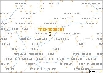
Tachakoucht (Tiznit, Morocco)Tachakoucht is a town in the Tiznit region of Morocco. An overview map of the region around Tachakoucht is displayed below.
regional and 3d topo map of Tachakoucht, Morocco ::
Tachakoucht airports ::
The nearest airport is AGA - Agadir Inezgane, located 87.9 km north west of Tachakoucht.
Other airports nearby include RAK - Marrakech Menara (231.0 km north east), Nearby towns ::
Tioudid (0.0km north) //
Agourgouma (1.9km north) //
Azrou Ouado (2.5km north east) //
Tamdloucht (3.2km west) //
Irhir Ouofort (3.7km north) //
Fouguerd (3.7km north west) //
Assoul (4.0km north east) //
Agel (4.0km north east) //
Dislougdem (3.7km south west) //
Afella Ouadel (3.7km south east) //
Tagmout (4.9km north west) //
Irhallene (4.9km north east) //
Anergui (5.6km north) //
Tikitar (4.8km west) //
Tafraout (4.8km east) //
Boutabia (5.6km south) //
Anil (5.8km north) //
Amarkhsine (5.2km west) //
Tizguï (5.8km south) //
Illig (6.4km south west) //
Aït Mar (6.1km south west) //
Fiisli (7.4km south) //
Dimlalene (7.4km north east) //
Tirhmert (7.4km south west) //
Assaka (7.4km north west) //
Imi nʼ Tizgui (8.1km south west) //
Azourane (8.5km north west) //
Tandilt (8.5km north east) //
Aït Debachine (8.8km south west) //
[all distances 'as the bird flies' and approximate] 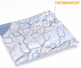 Places with similar names to Tachakoucht, Morocco ::
Disclaimer :: Information on this page comes without warranty of any kind |
||
|
Where is Tachakoucht? Elevation and coordinates ::
Latitude (lat): 29°43'0"N Longitude (lon): 9°3'0"W
Elevation (approx.): 838m (map arrows pan, magnifying glasses zoom) |
||
|
Visiting Tachakoucht? Hotel/Accommodation ::
Book a hotel in Tachakoucht Travel Guide ::
Buy a travel guide for Morocco rental cars ::
car rental offers GPS waypoint ::
download a GPX waypoint (PoI) of Tachakoucht for your GPS receiver
|
||