|
search place name
|
||
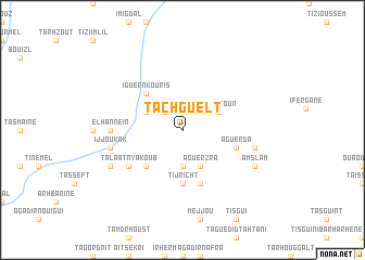
Tachguelt (Marrakech, Morocco)Tachguelt is a town in the Marrakech region of Morocco. An overview map of the region around Tachguelt is displayed below.
regional and 3d topo map of Tachguelt, Morocco ::
Tachguelt airports ::
The nearest airport is RAK - Marrakech Menara, located 65.7 km north of Tachguelt.
Other airports nearby include OZZ - Ouarzazate (114.1 km east), AGA - Agadir Inezgane (155.4 km south west), Nearby towns ::
Iguidi (2.4km north west) //
Alla (2.4km north west) //
Irhir (3.7km south) //
Aït Zitoun (3.7km north east) //
Rikt (3.7km north west) //
Aguerzra (4.0km south east) //
Iguer nʼKouris (4.9km north west) //
Toug el Kheïr (4.9km north west) //
Tarhebart (4.9km south west) //
Tanefit (5.6km south) //
Tijricht (5.6km south) //
Tazougart (5.8km south) //
Aguerda (5.1km east) //
Imi nʼTisgui (6.0km south west) //
Talâat nʼ Yakoub (6.0km south west) //
El Hanneïn (6.4km west) //
Tigoundafine (6.6km east) //
Ijjoukak (6.6km west) //
Amslam (7.4km south east) //
Nzala (7.4km south west) //
[all distances 'as the bird flies' and approximate] 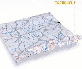 Places with similar names to Tachguelt, Morocco ::
Disclaimer :: Information on this page comes without warranty of any kind |
||
|
Where is Tachguelt? Elevation and coordinates ::
Latitude (lat): 31°1'0"N Longitude (lon): 8°6'0"W
Elevation (approx.): 1494m (map arrows pan, magnifying glasses zoom) |
||
|
Visiting Tachguelt? Hotel/Accommodation ::
Book a hotel in Tachguelt Travel Guide ::
Buy a travel guide for Morocco rental cars ::
car rental offers GPS waypoint ::
download a GPX waypoint (PoI) of Tachguelt for your GPS receiver
|
||