|
search place name
|
||
Tirouguine (Marrakech, Morocco)Tirouguine is a town in the Marrakech region of Morocco. An overview map of the region around Tirouguine is displayed below.
regional and 3d topo map of Tirouguine, Morocco ::

Tirouguine airports ::
The nearest airport is RAK - Marrakech Menara, located 103.0 km north east of Tirouguine.
Other airports nearby include AGA - Agadir Inezgane (103.1 km south west), Nearby towns ::
Amadine (1.9km south) //
Habbo (1.9km north) //
Tamelloukt (1.6km east) //
Agadir Hourrach (2.4km north east) //
Imgaadine (3.2km east) //
Talmest (3.7km south) //
Ikhamitene (4.0km north east) //
Douar Oulad Hajj Mohammed (4.0km north east) //
Taoukit (4.9km north east) //
Lbour (4.8km west) //
Taguenza (5.1km west) //
Amadine (5.8km south) //
Imerjane (5.8km north) //
Tigouguine (6.4km north east) //
Aderras (6.0km north west) //
Ouaouzgert (6.3km east) //
Taouara (8.1km south west) //
Douar Sidi Lhassene (7.3km north east) //
Tarselt (9.1km north) //
Tassoukt (8.8km south east) //
Tibt (8.4km north east) //
Iguerskaoun (8.4km north east) //
Iggui nʼDiouine (9.8km south west) //
Tazought (9.8km south east) //
Amskenid (9.8km north east) //
[all distances 'as the bird flies' and approximate] 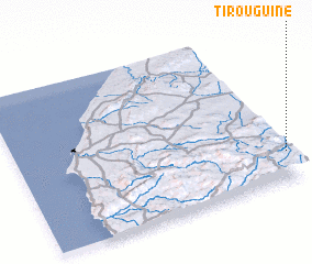 Places with similar names to Tirouguine, Morocco ::
Disclaimer :: Information on this page comes without warranty of any kind |
||
|
Where is Tirouguine? Elevation and coordinates ::
Latitude (lat): 31°11'0"N Longitude (lon): 9°0'0"W
Elevation (approx.): 1095m (map arrows pan, magnifying glasses zoom) |
||
|
Visiting Tirouguine? Hotel/Accommodation ::
Book a hotel in Tirouguine Travel Guide ::
Buy a travel guide for Morocco rental cars ::
car rental offers GPS waypoint ::
download a GPX waypoint (PoI) of Tirouguine for your GPS receiver
|
||