|
search place name
|
||
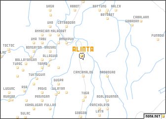
Alinta (Kalinga-Apayao, Philippines)Alinta is a town in the Kalinga-Apayao region of Philippines. An overview map of the region around Alinta is displayed below.
regional and 3d topo map of Alinta, Philippines ::
Alinta airports ::
The nearest airport is BAG - Baguio, located 159.3 km south west of Alinta.
Nearby towns ::
Magaogao (1.9km north) //
Camcamalog (3.7km south) //
Pinukpuk (5.1km north west) //
Colayanan (5.1km north west) //
Binansagan (5.6km west) //
Magaogao (6.5km south east) //
Oyo (6.5km north west) //
Allaguia (7.1km west) //
Mananig (7.1km west) //
Wagud (7.1km west) //
Sagsag (7.3km west) //
Malagnat (7.7km north west) //
Dugpa (7.7km south west) //
Pinukpuk (7.5km west) //
Colasan (8.2km south west) //
Catabogan (8.2km north west) //
Tuga (8.4km south) //
Dilayan (9.1km south west) //
Vigan (9.0km north west) //
Baac (9.8km south west) //
Uma (10.2km north west) //
Abuag (10.2km north west) //
[all distances 'as the bird flies' and approximate] 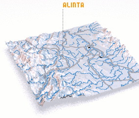 Places with similar names to Alinta, Philippines ::
Disclaimer :: Information on this page comes without warranty of any kind |
||
|
Where is Alinta? Elevation and coordinates ::
Latitude (lat): 17°35'0"N Longitude (lon): 121°26'0"E
Elevation (approx.): 88m (map arrows pan, magnifying glasses zoom) |
||
|
Visiting Alinta? Hotel/Accommodation ::
Book a hotel in Alinta Travel Guide ::
Buy a travel guide for Philippines rental cars ::
car rental offers GPS waypoint ::
download a GPX waypoint (PoI) of Alinta for your GPS receiver
|
||