|
search place name
|
||
Balala (Palawan, Philippines)Balala is a town in the Palawan region of Philippines. An overview map of the region around Balala is displayed below.
regional and 3d topo map of Balala, Philippines ::

Balala airports ::
The nearest airport is SJI - San Jose Antique, located 245.8 km south east of Balala.
Nearby towns ::
Siuk (1.5km south) //
Tabulsit (2.2km south west) //
Mangahan (3.5km south west) //
Culion Reservation (4.6km south) //
Dibongnot (4.8km south west) //
Palumpung (4.8km south west) //
Baldat (6.0km south west) //
Carigmalan (6.2km south west) //
Tubuc (6.4km south) //
Dinaydayan (6.4km south west) //
Negative (7.6km south west) //
Cabuyao (8.0km west) //
Paluat (8.1km west) //
Nuglayan (8.1km south west) //
Danat (8.6km west) //
San Pedro (8.9km south) //
Cayangcanan (9.2km north) //
Malapad (10.4km south west) //
[all distances 'as the bird flies' and approximate] 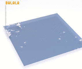 Places with similar names to Balala, Philippines ::
Disclaimer :: Information on this page comes without warranty of any kind |
||
|
Where is Balala? Elevation and coordinates ::
Latitude (lat): 11°55'47"N Longitude (lon): 120°0'55"E
Elevation (approx.): 4m (map arrows pan, magnifying glasses zoom) |
||
|
Visiting Balala? Hotel/Accommodation ::
Book a hotel in Balala Travel Guide ::
Buy a travel guide for Philippines rental cars ::
car rental offers GPS waypoint ::
download a GPX waypoint (PoI) of Balala for your GPS receiver
|
||