|
search place name
|
||
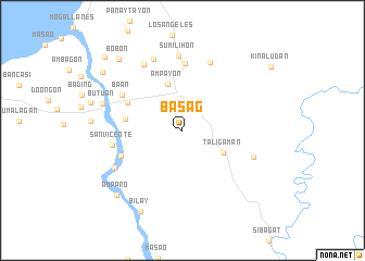
Basag (Butuan, Philippines)Basag is a town in the Butuan region of Philippines. An overview map of the region around Basag is displayed below.
regional and 3d topo map of Basag, Philippines ::
Basag airports ::
The nearest airport is CGY - Ladag Cagayan De Oro, located 124.3 km south west of Basag.
Other airports nearby include NOP - Masbate Mactan Cebu Intl (236.1 km north west), CEB - Cebu Cotabato (248.9 km south west), Nearby towns ::
Taligaman (4.7km south east) //
Ampayon (4.9km north) //
Mahay (5.9km west) //
Kabahian (6.3km north west) //
Tagabaca (6.8km south west) //
Taguibo (6.9km north) //
Ba-an (7.1km north west) //
San Vicente (7.2km west) //
Pianing (7.5km north) //
Sumilihon (7.6km north) //
Manipis (7.7km east) //
Tiniwisan (7.8km north west) //
Cabcabon (7.8km north) //
Aupagan (7.9km south west) //
Butuan (8.6km west) //
Bilay (9.4km south west) //
Amparo (9.4km south west) //
Bobon (9.8km north west) //
Maug (10.0km north west) //
Banza (11.0km north west) //
[all distances 'as the bird flies' and approximate] 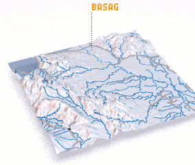 Places with similar names to Basag, Philippines ::
Disclaimer :: Information on this page comes without warranty of any kind |
||
|
Where is Basag? Elevation and coordinates ::
Latitude (lat): 8°55'29"N Longitude (lon): 125°37'4"E
Elevation (approx.): 47m (map arrows pan, magnifying glasses zoom) |
||
|
Visiting Basag? Hotel/Accommodation ::
Book a hotel in Basag Travel Guide ::
Buy a travel guide for Philippines rental cars ::
car rental offers GPS waypoint ::
download a GPX waypoint (PoI) of Basag for your GPS receiver
|
||