|
search place name
|
||
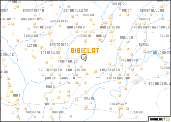
Bibiclat (Nueva Ecija, Philippines)Bibiclat is a town in the Nueva Ecija region of Philippines. An overview map of the region around Bibiclat is displayed below.
regional and 3d topo map of Bibiclat, Philippines ::
Bibiclat airports ::
The nearest airport is BAG - Baguio, located 97.7 km north of Bibiclat.
Other airports nearby include MNL - Manila Ninoy Aquino Intl (113.7 km south), Nearby towns ::
Pantoc (1.5km south west) //
Bucot (2.6km south) //
San Alejandro (2.7km north) //
San Juan de Dios (3.0km south east) //
San Carlos (3.2km north east) //
San Isidro (3.4km south west) //
Balod (3.4km south west) //
La Purisima (3.4km south west) //
San Juan Bautista (3.4km south west) //
Pabuluan (3.4km south west) //
Ricarte (3.4km south west) //
Aliaga (3.8km south west) //
Tabing Ilog (3.8km west) //
Santo Rosario (3.8km west) //
Santo Rosario (4.2km north) //
Mamandil (4.4km north east) //
Visoria (4.5km north) //
San Pablo (4.7km south) //
San Emiliano (5.1km south) //
San Felipe (5.1km south east) //
Umangan (5.1km east) //
Santo Tomas (5.3km south) //
Dolores (5.6km north east) //
Sapang Toro (5.5km west) //
San Eustacio (5.5km west) //
Catambuan (5.7km north east) //
Magat (5.7km north east) //
Gabasta (6.0km south west) //
Cinco Cinco (6.0km south east) //
[all distances 'as the bird flies' and approximate] 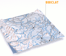 Places with similar names to Bibiclat, Philippines ::
// Bibiclat (PH)
Disclaimer :: Information on this page comes without warranty of any kind |
||
|
Where is Bibiclat? Elevation and coordinates ::
Latitude (lat): 15°31'33"N Longitude (lon): 120°52'4"E
Elevation (approx.): 33m (map arrows pan, magnifying glasses zoom) |
||
|
Visiting Bibiclat? Hotel/Accommodation ::
Book a hotel in Bibiclat Travel Guide ::
Buy a travel guide for Philippines rental cars ::
car rental offers GPS waypoint ::
download a GPX waypoint (PoI) of Bibiclat for your GPS receiver
|
||