|
search place name
|
||
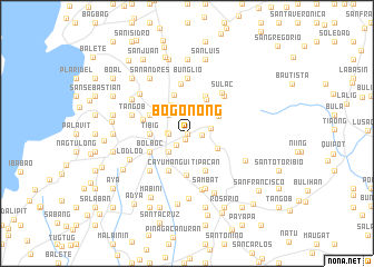
Bogonong (Lipa, Philippines)Bogonong is a town in the Lipa region of Philippines. An overview map of the region around Bogonong is displayed below.
regional and 3d topo map of Bogonong, Philippines ::
Bogonong airports ::
The nearest airport is MNL - Manila Ninoy Aquino Intl, located 64.3 km north of Bogonong.
Nearby towns ::
Muntingpulo (0.0km north) //
Patay (0.6km south) //
Tangob (1.5km east) //
Lipa (1.6km south west) //
Tambo (1.8km west) //
Cumba (1.8km west) //
Sabang (1.9km west) //
Dagatan (2.1km north) //
Sapac (2.4km east) //
Marauoy (2.6km north west) //
Latag (2.6km south west) //
Tambol (2.6km south west) //
San Salvador (2.6km south west) //
Balagbag (2.6km north west) //
Inosloban (3.3km north west) //
Talisay (3.4km north east) //
San Benito (3.4km south east) //
Santo Niño (3.5km north east) //
Tibig (3.6km west) //
Balintiouac (3.6km west) //
Mataasnalupa (3.6km west) //
Lumbang (3.9km north east) //
Plaridel (4.1km north) //
Cayumangui (4.1km south west) //
Pusil (4.0km north west) //
Bolboc (4.0km south west) //
Malalimnalodlod (4.0km south west) //
Balentiouac (4.0km north west) //
Tipacan (4.1km south east) //
[all distances 'as the bird flies' and approximate] 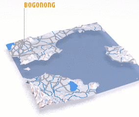 Places with similar names to Bogonong, Philippines ::
// Backnang (DE)
// Bieganinek (PL)
// Bačkininkai (LT)
// Bačkininkai (LT)
// Békoninga (TD)
// Bekonang (ID)
// Bac Nàng (VN)
// Bogninga (CM)
Disclaimer :: Information on this page comes without warranty of any kind |
||
|
Where is Bogonong? Elevation and coordinates ::
Latitude (lat): 13°57'0"N Longitude (lon): 121°11'0"E
Elevation (approx.): 305m (map arrows pan, magnifying glasses zoom) |
||
|
Visiting Bogonong? Hotel/Accommodation ::
Book a hotel in Bogonong Travel Guide ::
Buy a travel guide for Philippines rental cars ::
car rental offers GPS waypoint ::
download a GPX waypoint (PoI) of Bogonong for your GPS receiver
|
||