|
search place name
|
||
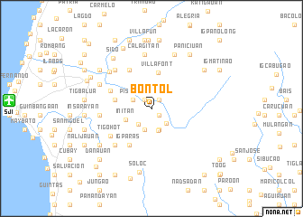
Bontol (Antique, Philippines)Bontol is a town in the Antique region of Philippines. An overview map of the region around Bontol is displayed below.
regional and 3d topo map of Bontol, Philippines ::
Bontol airports ::
The nearest airport is SJI - San Jose Antique, located 17.3 km west of Bontol.
Other airports nearby include ILO - Iloilo (49.9 km east), BCD - Bacolod (92.6 km east), KLO - Kalibo (106.7 km north), DGT - Dumaguete (205.8 km south east), Nearby towns ::
Bulalacao (1.3km south east) //
Tordesillas (1.3km south east) //
Bunga (1.4km north west) //
Luna (1.4km north east) //
Pisanan (2.5km north west) //
Panlagangan (2.6km south east) //
Luyang (2.6km south west) //
Lambayagan (2.8km south) //
Cogon (2.8km south) //
Rizal (2.9km south) //
Initan (3.4km south west) //
Villafont (4.5km north) //
Mabini (4.6km west) //
Igparas (5.2km south west) //
Iglanot (5.5km north west) //
Igdalaguit (5.5km north west) //
Nagdayao (5.5km north west) //
Tigohot (6.1km south west) //
Initan (6.4km south west) //
Igcarahig (6.4km south west) //
Inabasan (6.4km west) //
Ma-asin (6.5km north west) //
Nasunugan (6.5km north west) //
Calagitan (6.7km north) //
Pagbacan (6.9km north west) //
Nazaret (6.9km north west) //
Esperanza (6.9km north west) //
Catmon (6.9km north west) //
Inabasan (6.9km north west) //
[all distances 'as the bird flies' and approximate] 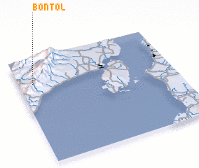 Places with similar names to Bontol, Philippines ::
Disclaimer :: Information on this page comes without warranty of any kind |
||
|
Where is Bontol? Elevation and coordinates ::
Latitude (lat): 10°45'26"N Longitude (lon): 122°5'28"E
Elevation (approx.): 81m (map arrows pan, magnifying glasses zoom) |
||
|
Visiting Bontol? Hotel/Accommodation ::
Book a hotel in Bontol Travel Guide ::
Buy a travel guide for Philippines rental cars ::
car rental offers GPS waypoint ::
download a GPX waypoint (PoI) of Bontol for your GPS receiver
|
||