|
search place name
|
||
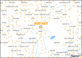
Buayaen (Pangasinan, Philippines)Buayaen is a town in the Pangasinan region of Philippines. An overview map of the region around Buayaen is displayed below.
regional and 3d topo map of Buayaen, Philippines ::
Buayaen airports ::
The nearest airport is BAG - Baguio, located 68.0 km north of Buayaen.
Other airports nearby include MNL - Manila Ninoy Aquino Intl (153.8 km south east), Nearby towns ::
Amacpecan (0.0km north) //
Amancosiling see Amancosiling Sur (0.0km north) //
Amancosiling Sur (0.0km north) //
Telbang (1.0km north east) //
Nanambong (1.2km east) //
Pogo (1.9km south) //
Baluyot (1.9km north) //
Tartarak (1.8km west) //
Wawa (2.2km south) //
Iton (2.6km south east) //
Tangal (2.6km south west) //
San Gabriel (2.9km south east) //
Ouou (3.0km south) //
Bayambang (3.1km north) //
San Vicente (3.7km south) //
Pangdel (3.6km west) //
Apalen (3.6km west) //
Tubor (3.7km north) //
Camp Gregg (3.7km north) //
Burgos (3.7km north) //
Tambac (3.7km north) //
Bongato (3.7km north) //
Bical (4.1km north west) //
Cabuaan (4.1km north east) //
Cabilon (4.1km north east) //
Nibalio (4.1km north east) //
Banaban (4.1km north west) //
Inirangan (4.0km west) //
Buingan (4.2km south) //
[all distances 'as the bird flies' and approximate] 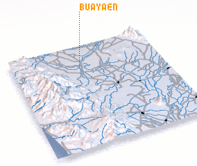 Places with similar names to Buayaen, Philippines ::
Disclaimer :: Information on this page comes without warranty of any kind |
||
|
Where is Buayaen? Elevation and coordinates ::
Latitude (lat): 15°47'0"N Longitude (lon): 120°27'0"E
Elevation (approx.): 23m (map arrows pan, magnifying glasses zoom) |
||
|
Visiting Buayaen? Hotel/Accommodation ::
Book a hotel in Buayaen Travel Guide ::
Buy a travel guide for Philippines rental cars ::
car rental offers GPS waypoint ::
download a GPX waypoint (PoI) of Buayaen for your GPS receiver
|
||