|
search place name
|
||
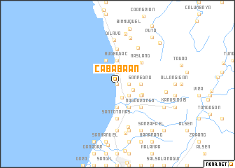
Cababaan (Ilocos Norte, Philippines)Cababaan is a town in the Ilocos Norte region of Philippines. An overview map of the region around Cababaan is displayed below.
regional and 3d topo map of Cababaan, Philippines ::
Cababaan airports ::
The nearest airport is BAG - Baguio, located 220.4 km south of Cababaan.
Nearby towns ::
Santo Domingo (0.0km north) //
Vocal (0.0km north) //
Estancia (1.9km north) //
Dilap (1.8km east) //
Dalipaso (1.8km east) //
Santo Domingo (2.3km south) //
Nagat (2.6km south east) //
Carawan (2.7km north) //
Dilpoc (2.5km east) //
Budbudac (3.7km north) //
San Pedro (3.5km east) //
San Roque (3.7km south) //
Bago (4.1km north west) //
Abec (4.0km south east) //
Cadalman (4.0km south east) //
Subic (4.0km south east) //
Pasuquin (4.1km south east) //
Sulbec (4.2km south east) //
Maslang (5.0km north east) //
Nagparanga (5.1km south east) //
Santo Tomas (5.6km south) //
Tulnagan (5.6km north) //
Bobodo (6.6km north east) //
Dilavo (7.0km north) //
Nagbanab (7.1km south) //
Carusiban (7.4km south) //
Dadaeman (7.6km south) //
Similla (7.6km north) //
Santa Catalina (7.5km east) //
[all distances 'as the bird flies' and approximate] 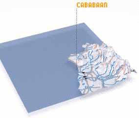 Places with similar names to Cababaan, Philippines ::
// Kebbibiene (MA)
// Cababaan (PH)
// Kabiboni (KE)
// Kobabèn (ML)
// Cabo Baiane (MZ)
// Cabo Boane (MZ)
// Kabubinie (PG)
// Gbei Bonnah (LR)
// Kobyboyn (AU)
Disclaimer :: Information on this page comes without warranty of any kind |
||
|
Where is Cababaan? Elevation and coordinates ::
Latitude (lat): 18°22'0"N Longitude (lon): 120°36'0"E
Elevation (approx.): -32768m (map arrows pan, magnifying glasses zoom) |
||
|
Visiting Cababaan? Hotel/Accommodation ::
Book a hotel in Cababaan Travel Guide ::
Buy a travel guide for Philippines rental cars ::
car rental offers GPS waypoint ::
download a GPX waypoint (PoI) of Cababaan for your GPS receiver
|
||