|
search place name
|
||
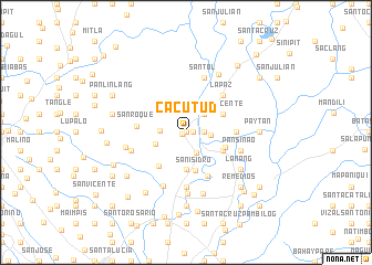
Cacutud (Pampanga, Philippines)Cacutud is a town in the Pampanga region of Philippines. An overview map of the region around Cacutud is displayed below.
regional and 3d topo map of Cacutud, Philippines ::
Cacutud airports ::
The nearest airport is MNL - Manila Ninoy Aquino Intl, located 76.0 km south of Cacutud.
Other airports nearby include BAG - Baguio (136.5 km north), Nearby towns ::
Manga (0.0km north) //
Plasangluma (0.0km north) //
Guemasan (0.0km north) //
San Jose (0.0km north) //
Paralaya (0.0km north) //
Mesulo (0.0km north) //
Plazang Luma (0.5km south west) //
Arayat (0.7km east) //
Batasan (1.8km east) //
San Nicolas (2.3km south east) //
Santa Cruz (2.4km east) //
San Juan (2.5km north) //
San Agustin (2.6km north east) //
Gatiawin (2.5km west) //
Lacmit (3.2km west) //
Santiago (3.7km south) //
San Isidro (3.9km south) //
San Vicente (4.0km north east) //
Macabaclay (4.0km south east) //
Santa Lucia (4.1km east) //
Santo Rosario (4.3km south west) //
San Nicolas (4.9km south east) //
San Roque (4.8km west) //
Candating (4.9km east) //
La Paz (5.2km north east) //
San Jose (5.6km south) //
San Joaquin (5.6km south) //
San Bartolome (5.6km south) //
Santol (5.8km north) //
[all distances 'as the bird flies' and approximate] 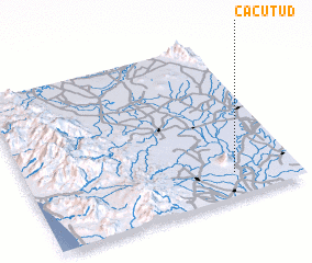 Places with similar names to Cacutud, Philippines ::
Disclaimer :: Information on this page comes without warranty of any kind |
||
|
Where is Cacutud? Elevation and coordinates ::
Latitude (lat): 15°9'0"N Longitude (lon): 120°46'0"E
Elevation (approx.): 14m (map arrows pan, magnifying glasses zoom) |
||
|
Visiting Cacutud? Hotel/Accommodation ::
Book a hotel in Cacutud Travel Guide ::
Buy a travel guide for Philippines rental cars ::
car rental offers GPS waypoint ::
download a GPX waypoint (PoI) of Cacutud for your GPS receiver
|
||