|
search place name
|
||
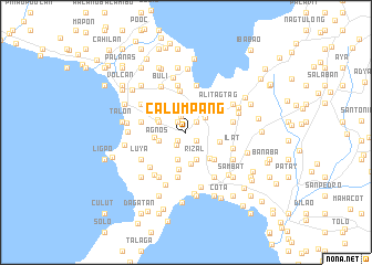
Calumpang (Batangas, Philippines)Calumpang is a town in the Batangas region of Philippines. An overview map of the region around Calumpang is displayed below.
regional and 3d topo map of Calumpang, Philippines ::
Calumpang airports ::
The nearest airport is MNL - Manila Ninoy Aquino Intl, located 74.0 km north of Calumpang.
Nearby towns ::
Santa Monica (1.2km south west) //
Cupang (1.3km south east) //
San Martin (1.3km north west) //
Mojon Segundo (1.4km north east) //
Dairudu (1.6km south west) //
Sampa (1.6km north) //
Mozon (2.4km north east) //
Inicbulan (2.8km south) //
Malue (2.7km west) //
Agnos (2.7km west) //
Rizal (2.9km south) //
Tuñgal (2.8km west) //
Santa Teresita (2.9km north) //
Pacifico (3.0km north) //
Sambat (3.0km north) //
San Jose (3.0km north west) //
Abiacao (3.1km west) //
Duruñgao (3.3km south) //
Balayong (3.5km south east) //
Asis (3.4km east) //
Alagao (3.8km south) //
Bulagang (3.9km south east) //
Cutangcawayan (4.0km north east) //
Bihis (4.2km north) //
Alitagtag (4.3km north east) //
Sinala (4.6km south) //
Jalang (4.5km west) //
Sinipian (4.8km north) //
Calumala (4.8km north) //
[all distances 'as the bird flies' and approximate] 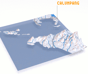 Places with similar names to Calumpang, Philippines ::
Disclaimer :: Information on this page comes without warranty of any kind |
||
|
Where is Calumpang? Elevation and coordinates ::
Latitude (lat): 13°50'27"N Longitude (lon): 120°58'27"E
Elevation (approx.): 175m (map arrows pan, magnifying glasses zoom) |
||
|
Visiting Calumpang? Hotel/Accommodation ::
Book a hotel in Calumpang Travel Guide ::
Buy a travel guide for Philippines rental cars ::
car rental offers GPS waypoint ::
download a GPX waypoint (PoI) of Calumpang for your GPS receiver
|
||