|
search place name
|
||
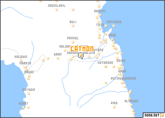
Catmon (Bataan, Philippines)Catmon is a town in the Bataan region of Philippines. An overview map of the region around Catmon is displayed below.
regional and 3d topo map of Catmon, Philippines ::
Catmon airports ::
The nearest airport is MNL - Manila Ninoy Aquino Intl, located 57.4 km east of Catmon.
Other airports nearby include BAG - Baguio (193.3 km north), Nearby towns ::
Maluya (1.5km east) //
Malauan (2.0km north) //
Parang (2.1km west) //
Casamluan (2.5km north east) //
Pantingan (2.5km west) //
Capot (3.1km east) //
Uyong (3.8km east) //
Pankol (4.3km north west) //
Maloan (4.3km north west) //
Maldica (4.3km north west) //
Kataasan (5.3km east) //
Bilolo (5.4km east) //
Bangad (5.4km east) //
Daan (5.4km west) //
Santa Rosa (5.6km north east) //
Balanga (6.1km north east) //
Panilao (6.4km north east) //
Tinajero (6.7km north east) //
Cupang (6.7km north east) //
Sabatan (7.1km east) //
Damlog (7.5km south east) //
Patok (7.5km south east) //
Pilar (7.4km north east) //
Wakas (7.5km east) //
Balut (7.6km north east) //
Buli (7.8km north) //
Santo Domingo (7.6km east) //
Binukawan (7.6km west) //
Bantan (7.7km east) //
[all distances 'as the bird flies' and approximate] 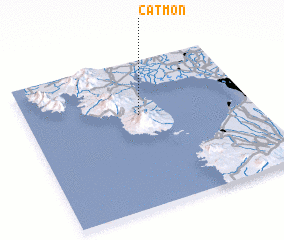 Places with similar names to Catmon, Philippines ::
Disclaimer :: Information on this page comes without warranty of any kind |
||
|
Where is Catmon? Elevation and coordinates ::
Latitude (lat): 14°37'56"N Longitude (lon): 120°30'9"E
Elevation (approx.): 34m (map arrows pan, magnifying glasses zoom) |
||
|
Visiting Catmon? Hotel/Accommodation ::
Book a hotel in Catmon Travel Guide ::
Buy a travel guide for Philippines rental cars ::
car rental offers GPS waypoint ::
download a GPX waypoint (PoI) of Catmon for your GPS receiver
|
||