|
search place name
|
||
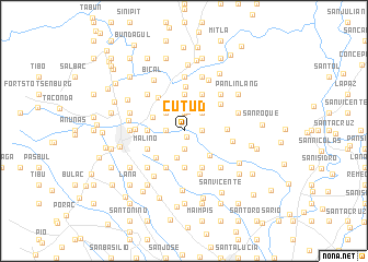
Cutud (Pampanga, Philippines)Cutud is a town in the Pampanga region of Philippines. An overview map of the region around Cutud is displayed below.
regional and 3d topo map of Cutud, Philippines ::
Cutud airports ::
The nearest airport is MNL - Manila Ninoy Aquino Intl, located 81.4 km south east of Cutud.
Other airports nearby include BAG - Baguio (135.6 km north), Nearby towns ::
Culubasa (0.7km south) //
Cauayan (1.8km east) //
Lupalo (1.8km east) //
San Isidro (1.9km north) //
Suclaban (1.9km south) //
Dolores (1.8km west) //
Tangle (2.0km north) //
Buenavista (2.6km north east) //
Sapalibutad (2.6km north west) //
Acli (2.8km south) //
San Agustin (3.4km north west) //
San Jose Malino (3.6km south east) //
Pandacaqui (3.7km north) //
Panipuan Malino (3.7km south) //
Tabun (3.6km west) //
Capaya (3.6km west) //
Gandus (3.9km south west) //
Baliti (4.1km north east) //
Salbac (4.1km north east) //
Dalisdis (4.1km south east) //
San Pedro (4.1km south east) //
Panipuan San Fernando (4.1km south west) //
Malino (4.0km south west) //
Sapang Maisac (4.2km north west) //
San Antonio (4.3km east) //
Camias (4.6km north) //
Arenas (4.5km north east) //
Panipuan (4.6km south) //
Pandan (4.8km west) //
[all distances 'as the bird flies' and approximate] 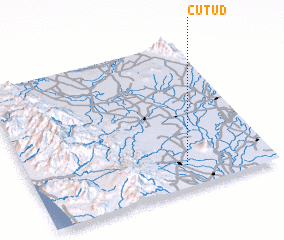 Places with similar names to Cutud, Philippines ::
Disclaimer :: Information on this page comes without warranty of any kind |
||
|
Where is Cutud? Elevation and coordinates ::
Latitude (lat): 15°9'0"N Longitude (lon): 120°39'0"E
Elevation (approx.): 45m (map arrows pan, magnifying glasses zoom) |
||
|
Visiting Cutud? Hotel/Accommodation ::
Book a hotel in Cutud Travel Guide ::
Buy a travel guide for Philippines rental cars ::
car rental offers GPS waypoint ::
download a GPX waypoint (PoI) of Cutud for your GPS receiver
|
||