|
search place name
|
||
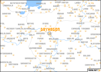
Dayhagon (Capiz, Philippines)Dayhagon is a town in the Capiz region of Philippines. An overview map of the region around Dayhagon is displayed below.
regional and 3d topo map of Dayhagon, Philippines ::
Dayhagon airports ::
The nearest airport is KLO - Kalibo, located 43.0 km north west of Dayhagon.
Other airports nearby include ILO - Iloilo (79.0 km south), BCD - Bacolod (90.3 km south), SJI - San Jose Antique (107.7 km south west), NOP - Masbate Mactan Cebu Intl (188.8 km south east), Nearby towns ::
Pagbunitan (0.0km north) //
Sigma (0.0km east) //
Cogon (1.9km south) //
Balucuan (2.3km south east) //
Tawog (2.4km north west) //
Balucuan (2.5km south east) //
Acbo (2.6km north east) //
Capuyhan (2.6km north west) //
Guintas (2.6km north west) //
Pinamalatican (2.6km north west) //
Bangonbangon (2.6km south east) //
Amaga (2.7km north east) //
Dao (3.2km south east) //
Pangpang Norte (3.4km north west) //
Matangcong (3.7km north) //
Mangoso (3.6km west) //
Balsman (3.6km west) //
Kinabkaban (3.7km south) //
Bongol (4.1km north east) //
Oyong (4.1km north west) //
Matagnop (4.1km south east) //
Pangpang Sur (4.1km north west) //
Funda (4.1km south west) //
Matinabus (5.2km south west) //
Mansacul (5.5km south west) //
Cogon (5.6km north east) //
Nasunogan (5.8km south) //
Tugas (5.8km west) //
Kinayuya (5.8km south) //
[all distances 'as the bird flies' and approximate] 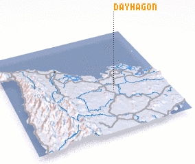 Places with similar names to Dayhagon, Philippines ::
Disclaimer :: Information on this page comes without warranty of any kind |
||
|
Where is Dayhagon? Elevation and coordinates ::
Latitude (lat): 11°25'0"N Longitude (lon): 122°40'0"E
Elevation (approx.): 15m (map arrows pan, magnifying glasses zoom) |
||
|
Visiting Dayhagon? Hotel/Accommodation ::
Book a hotel in Dayhagon Travel Guide ::
Buy a travel guide for Philippines rental cars ::
car rental offers GPS waypoint ::
download a GPX waypoint (PoI) of Dayhagon for your GPS receiver
|
||