|
search place name
|
||
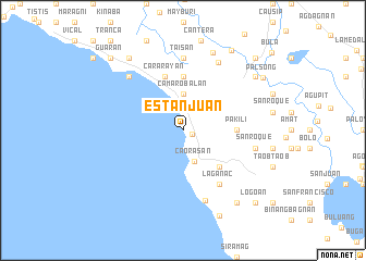
Estanjuan (Camarines Sur, Philippines)Estanjuan is a town in the Camarines Sur region of Philippines. An overview map of the region around Estanjuan is displayed below.
regional and 3d topo map of Estanjuan, Philippines ::
Estanjuan airports ::
The nearest airport is KLO - Kalibo, located 210.3 km south west of Estanjuan.
Nearby towns ::
Itagñon (1.0km east) //
Hamuraon (2.5km north) //
Caorasan (3.4km south) //
Camarobalan (3.7km north) //
Bunga (3.9km north east) //
Burabod (5.2km south east) //
Pakili (5.4km east) //
Camarobalan (5.6km north) //
Cararayan (5.8km north) //
Laganac (6.6km south east) //
Taisan (7.4km north) //
Lampayang (7.4km north) //
Siramag (7.5km south) //
San Roque (7.4km east) //
Santo Niño (7.8km north east) //
Bagulaizo (7.8km north west) //
Bayo (8.5km north) //
Bagolatao (9.2km north west) //
Canamnan (9.1km north east) //
Laganap (9.2km south east) //
Balatan (9.5km south) //
Ombao (9.5km north east) //
Palsong (9.6km north east) //
Casugad (10.3km north east) //
Lubgan (10.3km north east) //
La Purisima (10.3km north east) //
Guaran (10.3km north west) //
Cotmo (10.3km north west) //
Panoypoyan (10.3km north east) //
[all distances 'as the bird flies' and approximate] 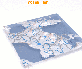 Places with similar names to Estanjuan, Philippines :: Disclaimer :: Information on this page comes without warranty of any kind |
||
|
Where is Estanjuan? Elevation and coordinates ::
Latitude (lat): 13°24'0"N Longitude (lon): 123°12'0"E
Elevation (approx.): -32768m (map arrows pan, magnifying glasses zoom) |
||
|
Visiting Estanjuan? Hotel/Accommodation ::
Book a hotel in Estanjuan Travel Guide ::
Buy a travel guide for Philippines rental cars ::
car rental offers GPS waypoint ::
download a GPX waypoint (PoI) of Estanjuan for your GPS receiver
|
||