|
search place name
|
||
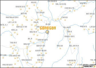
Gonogon (Mountain, Philippines)Gonogon is a town in the Mountain region of Philippines. An overview map of the region around Gonogon is displayed below.
regional and 3d topo map of Gonogon, Philippines ::
Gonogon airports ::
The nearest airport is BAG - Baguio, located 80.5 km south west of Gonogon.
Nearby towns ::
Balili (2.2km north west) //
Alab (2.9km north) //
Malitep (3.2km north west) //
Sabangan (3.7km south west) //
Data (4.1km west) //
Taccon (4.2km north west) //
Tupang (4.7km south west) //
Anquilen (5.1km north west) //
Bagnen (5.3km west) //
Pidig (5.7km north west) //
Balugan (5.9km north west) //
Bonayan (6.1km south west) //
Antadao (6.1km north west) //
Betwagan (6.2km north east) //
Otukan (6.4km south west) //
Tapeo (6.4km west) //
Sagada (6.9km north west) //
Bontoc (7.0km north east) //
Tanolon (7.1km north west) //
Limbasin (7.1km north west) //
Pagda (7.1km south east) //
Nacagan (7.2km north west) //
Gayang (7.5km south) //
Bila (7.2km south west) //
Talubin (7.3km east) //
Samoki (7.6km north east) //
Kumatagan (7.9km south) //
Piñgad (7.9km south) //
Tetepan (7.9km north) //
[all distances 'as the bird flies' and approximate] 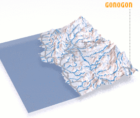 Places with similar names to Gonogon, Philippines ::
Disclaimer :: Information on this page comes without warranty of any kind |
||
|
Where is Gonogon? Elevation and coordinates ::
Latitude (lat): 17°2'0"N Longitude (lon): 120°56'28"E
Elevation (approx.): 1142m (map arrows pan, magnifying glasses zoom) |
||
|
Visiting Gonogon? Hotel/Accommodation ::
Book a hotel in Gonogon Travel Guide ::
Buy a travel guide for Philippines rental cars ::
car rental offers GPS waypoint ::
download a GPX waypoint (PoI) of Gonogon for your GPS receiver
|
||