|
search place name
|
||
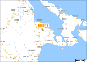
Gubat (Albay, Philippines)Gubat is a town in the Albay region of Philippines. An overview map of the region around Gubat is displayed below.
regional and 3d topo map of Gubat, Philippines ::
Gubat airports ::
The nearest airport is KLO - Kalibo, located 233.9 km south west of Gubat.
Nearby towns ::
Baclayon (0.7km east) //
Gindi (1.8km north east) //
Bariw (1.9km north) //
Uson (1.9km north) //
Lagñaton (1.9km north) //
Tambogñon (1.9km north) //
Banao (1.9km north) //
Buwang (1.9km north) //
Cagbulacao (1.9km north) //
San Pablo (1.9km north) //
Bunga (2.0km west) //
Bacacay (2.1km north east) //
Balano (2.5km east) //
Basud-Vinisitahan (2.5km east) //
Binitayan (2.5km north west) //
San Andres (2.7km south) //
Bayandong (2.8km south east) //
San Fernando (2.9km south west) //
Cabasan (3.0km north east) //
Busdac (3.0km north east) //
Igang (3.1km east) //
Misericordia (3.2km south west) //
Balete (3.4km north west) //
San Juan (3.4km north west) //
Calayucay (3.9km south) //
Sogod (3.9km north west) //
San Pedro (3.9km east) //
San Roque (3.9km west) //
Cajugutan (4.3km east) //
[all distances 'as the bird flies' and approximate] 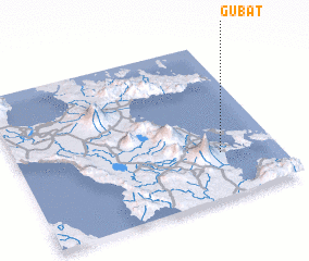 Places with similar names to Gubat, Philippines ::
Disclaimer :: Information on this page comes without warranty of any kind |
||
|
Where is Gubat? Elevation and coordinates ::
Latitude (lat): 13°17'4"N Longitude (lon): 123°46'38"E
Elevation (approx.): 30m (map arrows pan, magnifying glasses zoom) |
||
|
Visiting Gubat? Hotel/Accommodation ::
Book a hotel in Gubat Travel Guide ::
Buy a travel guide for Philippines rental cars ::
car rental offers GPS waypoint ::
download a GPX waypoint (PoI) of Gubat for your GPS receiver
|
||