|
search place name
|
||
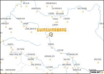
Guinguinabang (Abra, Philippines)Guinguinabang is a town in the Abra region of Philippines. An overview map of the region around Guinguinabang is displayed below.
regional and 3d topo map of Guinguinabang, Philippines ::
Guinguinabang airports ::
The nearest airport is BAG - Baguio, located 151.8 km south of Guinguinabang.
Nearby towns ::
Bakag (1.2km north west) //
Talampac (1.8km west) //
Lapat (3.5km north) //
Lotot (3.7km south) //
Sap-al (3.7km south) //
Buneg (3.8km south) //
Tineg (5.5km north) //
Balantay (5.8km north) //
Lacub (6.6km south east) //
Lanec (7.4km north) //
Lablabinag (7.3km west) //
Cogon (7.7km north east) //
Agsimao (7.8km north) //
Kapualan (8.1km south) //
Balaoang (9.1km south west) //
Mataragan (10.2km south east) //
Lenneng (10.2km south west) //
[all distances 'as the bird flies' and approximate] 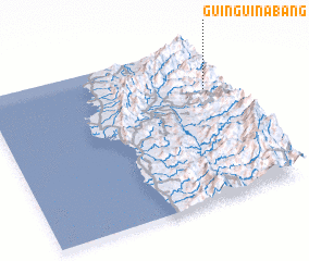 Places with similar names to Guinguinabang, Philippines ::
// Guinguinabang (PH)
Disclaimer :: Information on this page comes without warranty of any kind |
||
|
Where is Guinguinabang? Elevation and coordinates ::
Latitude (lat): 17°43'0"N Longitude (lon): 120°55'0"E
Elevation (approx.): 761m (map arrows pan, magnifying glasses zoom) |
||
|
Visiting Guinguinabang? Hotel/Accommodation ::
Book a hotel in Guinguinabang Travel Guide ::
Buy a travel guide for Philippines rental cars ::
car rental offers GPS waypoint ::
download a GPX waypoint (PoI) of Guinguinabang for your GPS receiver
|
||