|
search place name
|
||
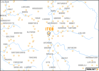
Iteb (Ilocos Sur, Philippines)Iteb is a town in the Ilocos Sur region of Philippines. An overview map of the region around Iteb is displayed below.
regional and 3d topo map of Iteb, Philippines ::
Iteb airports ::
The nearest airport is BAG - Baguio, located 87.9 km south of Iteb.
Nearby towns ::
Cayus (0.6km west) //
Kingking (1.2km east) //
Nalideg (1.4km south east) //
Quirino (1.4km south) //
Dacag (3.0km east) //
Legleg (3.6km south) //
Canteng (3.5km north east) //
Wayangan (3.8km north) //
Urzadan (3.9km south) //
Tabatab (4.3km east) //
Tubalina (4.4km north west) //
Baracbac (4.9km south east) //
Tubo (4.8km east) //
Lidaoan (5.1km north) //
Kumanga (5.1km east) //
Matibuey (5.5km north) //
Bermarekbec (5.5km north) //
Quilaman (5.5km north) //
Dagmam (5.7km south) //
Baracbac (5.8km south) //
Tiking (6.0km north east) //
Cangao (5.9km north west) //
Ubanan (6.2km north east) //
Badac (6.2km west) //
Pidlac (6.2km west) //
Tangaoan (6.3km west) //
An-ana-ao (6.5km west) //
Alfonso (6.5km west) //
Yasip (6.8km north west) //
[all distances 'as the bird flies' and approximate] 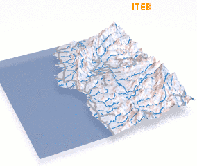 Places with similar names to Iteb, Philippines ::
Disclaimer :: Information on this page comes without warranty of any kind |
||
|
Where is Iteb? Elevation and coordinates ::
Latitude (lat): 17°10'5"N Longitude (lon): 120°40'18"E
Elevation (approx.): 307m (map arrows pan, magnifying glasses zoom) |
||
|
Visiting Iteb? Hotel/Accommodation ::
Book a hotel in Iteb Travel Guide ::
Buy a travel guide for Philippines rental cars ::
car rental offers GPS waypoint ::
download a GPX waypoint (PoI) of Iteb for your GPS receiver
|
||