|
search place name
|
||
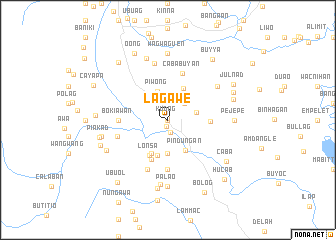
Lagawe (Ifugao, Philippines)Lagawe is a town in the Ifugao region of Philippines. An overview map of the region around Lagawe is displayed below.
regional and 3d topo map of Lagawe, Philippines ::
Lagawe airports ::
The nearest airport is BAG - Baguio, located 70.8 km south west of Lagawe.
Nearby towns ::
Gurog (0.0km north) //
Kudog (0.2km north west) //
Mangayang (0.7km south) //
Habian (1.4km south) //
Awa (2.3km north) //
Pagong (2.5km north) //
Hingyon (2.6km north east) //
Duklegan (3.2km east) //
Piwong (3.3km north) //
Baay (3.7km south) //
Mampella (3.9km north east) //
Pindungan (3.9km south east) //
Maggok (4.1km south) //
Nagacadan (4.1km south west) //
Lingay (4.1km south west) //
Lonsa (4.4km south west) //
Kiangan (4.7km south) //
Banao (4.6km east) //
Cababuyan (5.4km north) //
Bokiawan (5.3km west) //
Magingi (5.6km south) //
Bugaoy (5.7km west) //
Tuplac (6.0km south) //
Pitwan (6.5km north) //
Halag (6.5km north east) //
Duit (7.2km south) //
Cababuyan (7.3km north) //
Wagwaguen (7.4km north) //
Pejepe (7.1km east) //
[all distances 'as the bird flies' and approximate] 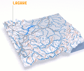 Places with similar names to Lagawe, Philippines ::
Disclaimer :: Information on this page comes without warranty of any kind |
||
|
Where is Lagawe? Elevation and coordinates ::
Latitude (lat): 16°49'0"N Longitude (lon): 121°6'0"E
Elevation (approx.): 641m (map arrows pan, magnifying glasses zoom) |
||
|
Visiting Lagawe? Hotel/Accommodation ::
Book a hotel in Lagawe Travel Guide ::
Buy a travel guide for Philippines rental cars ::
car rental offers GPS waypoint ::
download a GPX waypoint (PoI) of Lagawe for your GPS receiver
|
||