|
search place name
|
||
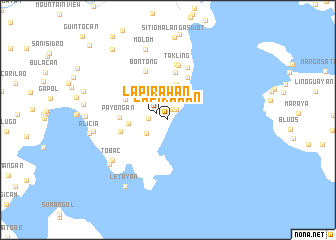
Lapirawan (Zamboanga del Sur, Philippines)Lapirawan is a town in the Zamboanga del Sur region of Philippines. An overview map of the region around Lapirawan is displayed below.
regional and 3d topo map of Lapirawan, Philippines ::
Lapirawan airports ::
The nearest airport is LGP - Legazpi Pagadian, located 59.6 km north east of Lapirawan.
Other airports nearby include ZAM - Zamboanga Intl (124.4 km south west), CEB - Cebu Cotabato (138.5 km east), CGY - Ladag Cagayan De Oro (202.1 km north east), DGT - Dumaguete (202.3 km north), Nearby towns ::
Lapidauan (1.3km north east) //
Sinusayan (1.5km north east) //
Lapirawan (1.5km north west) //
Alegria (2.1km west) //
Bacao (2.8km north) //
Ilisan (2.9km south west) //
Logpond (4.1km north) //
Milagrosa (4.3km west) //
Tigabon (5.2km north east) //
Kauswagan (5.3km north west) //
Catituan (5.4km north) //
Binuangan (5.4km west) //
Payongan (5.4km west) //
Bontong (6.0km north west) //
Takling (6.2km north) //
Boton (6.2km north) //
Malibak (6.2km north) //
Tobac (7.6km south west) //
Pandan (8.1km south west) //
Molom (8.3km north) //
Bomba (8.4km west) //
Letayan (8.8km south west) //
Alicia (8.8km west) //
Balutan (10.0km north west) //
Dumpok (12.0km north west) //
[all distances 'as the bird flies' and approximate] 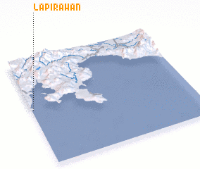 Places with similar names to Lapirawan, Philippines ::
// Lapirawan (PH)
Disclaimer :: Information on this page comes without warranty of any kind |
||
|
Where is Lapirawan? Elevation and coordinates ::
Latitude (lat): 7°31'40"N Longitude (lon): 123°0'31"E
Elevation (approx.): 7m (map arrows pan, magnifying glasses zoom) |
||
|
Visiting Lapirawan? Hotel/Accommodation ::
Book a hotel in Lapirawan Travel Guide ::
Buy a travel guide for Philippines rental cars ::
car rental offers GPS waypoint ::
download a GPX waypoint (PoI) of Lapirawan for your GPS receiver
|
||