|
search place name
|
||
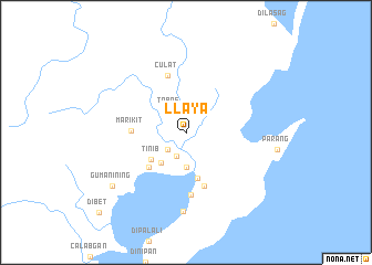
Llaya (Aurora, Philippines)Llaya is a town in the Aurora region of Philippines. An overview map of the region around Llaya is displayed below.
regional and 3d topo map of Llaya, Philippines ::
Llaya airports ::
The nearest airport is BAG - Baguio, located 162.0 km west of Llaya.
Other airports nearby include MNL - Manila Ninoy Aquino Intl (231.3 km south west), Nearby towns ::
Esperanza (2.0km north) //
Calantas (2.5km south west) //
Casiguran (2.6km south) //
Tabas (2.6km north west) //
Lual (3.6km south) //
Calangcuasan (3.9km south west) //
Tinib (4.3km south west) //
Dimankin (4.8km south) //
Dakiod (5.0km south west) //
Marikit (5.3km west) //
Koso (5.7km south) //
Culat (6.0km north) //
Busokbusok (6.4km south) //
Pasaruboy (7.9km south) //
Gumanining (8.9km south west) //
Dibet (11.7km south west) //
[all distances 'as the bird flies' and approximate]  Places with similar names to Llaya, Philippines ::
Disclaimer :: Information on this page comes without warranty of any kind |
||
|
Where is Llaya? Elevation and coordinates ::
Latitude (lat): 16°17'55"N Longitude (lon): 122°8'0"E
Elevation (approx.): 14m (map arrows pan, magnifying glasses zoom) |
||
|
Visiting Llaya? Hotel/Accommodation ::
Book a hotel in Llaya Travel Guide ::
Buy a travel guide for Philippines rental cars ::
car rental offers GPS waypoint ::
download a GPX waypoint (PoI) of Llaya for your GPS receiver
|
||