|
search place name
|
||
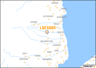
Locsoon (Misamis Occidental, Philippines)Locsoon is a town in the Misamis Occidental region of Philippines. An overview map of the region around Locsoon is displayed below.
regional and 3d topo map of Locsoon, Philippines ::
Locsoon airports ::
The nearest airport is LGP - Legazpi Pagadian, located 60.0 km south west of Locsoon.
Other airports nearby include CGY - Ladag Cagayan De Oro (91.2 km east), CEB - Cebu Cotabato (128.2 km south), DGT - Dumaguete (131.9 km north west), ZAM - Zamboanga Intl (241.7 km south west), Nearby towns ::
Dolores (1.9km south) //
San Nicolas (2.0km north east) //
Duanguican (2.6km north west) //
Malibangcao (3.9km south) //
Maicay (4.6km north east) //
Libertad (4.9km north east) //
Tudela (5.0km east) //
Baton (5.2km north west) //
Canipacan (5.6km south) //
Pan-ay (5.6km south east) //
Nailon (5.7km east) //
Balicaocao (5.8km east) //
Katipunan (5.9km north) //
Canibungan (6.1km south) //
Sungan (6.4km north west) //
Lupagan (6.5km south east) //
Balon (6.6km north west) //
Kinangay (6.7km south east) //
Sinacaban (6.7km north east) //
Capucao (7.0km south) //
Sinakaban (7.8km north east) //
Macabayao (8.1km north) //
Tinacla-an (8.1km south east) //
Guba (8.2km south) //
Labo (8.4km south east) //
Clarin (8.5km south east) //
Kalabayan (8.7km south) //
Gata (8.7km south east) //
Sinonoc (9.1km north east) //
[all distances 'as the bird flies' and approximate] 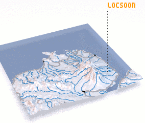 Places with similar names to Locsoon, Philippines ::
Disclaimer :: Information on this page comes without warranty of any kind |
||
|
Where is Locsoon? Elevation and coordinates ::
Latitude (lat): 8°15'0"N Longitude (lon): 123°48'0"E
Elevation (approx.): 200m (map arrows pan, magnifying glasses zoom) |
||
|
Visiting Locsoon? Hotel/Accommodation ::
Book a hotel in Locsoon Travel Guide ::
Buy a travel guide for Philippines rental cars ::
car rental offers GPS waypoint ::
download a GPX waypoint (PoI) of Locsoon for your GPS receiver
|
||