|
search place name
|
||
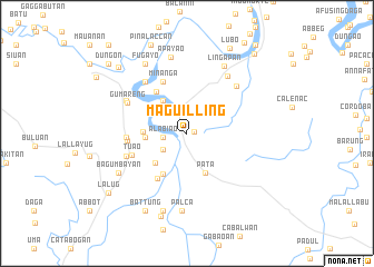
Maguilling (Cagayan, Philippines)Maguilling is a town in the Cagayan region of Philippines. An overview map of the region around Maguilling is displayed below.
regional and 3d topo map of Maguilling, Philippines ::
Maguilling airports ::
The nearest airport is BAG - Baguio, located 179.3 km south west of Maguilling.
Nearby towns ::
Nabbayugan (0.7km east) //
Alabiao (2.3km west) //
Fugu (2.8km south west) //
Macapil (4.0km north west) //
Sarabay (4.0km west) //
Alabug (4.2km south west) //
Pata (4.3km south east) //
Accusilian (4.2km west) //
Barancuag (4.7km south west) //
Balittua (4.7km south west) //
Piat (5.1km north west) //
Mongo (5.4km south west) //
Minanga (5.6km north west) //
Tuao (5.7km west) //
Bulagao (5.7km west) //
Cagumitan (5.8km west) //
Kato (6.2km west) //
Aquib (6.5km north west) //
Gumareng (6.4km north west) //
Gaddangao (6.6km north west) //
Namay (6.7km north east) //
Campo (6.9km north east) //
Lingapan (7.6km north east) //
Palca (7.8km south) //
Malummin (7.8km south) //
Apayao (7.8km north) //
Bagumbayan (7.6km south west) //
Gurengad (8.1km south) //
Fugayo (8.1km north west) //
[all distances 'as the bird flies' and approximate] 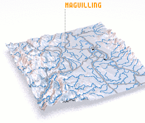 Places with similar names to Maguilling, Philippines ::
// Mai-hka-long (MM)
// Maklang (MM)
// Maklang (MM)
// Maklang (MM)
// Maklang (MM)
// Maklang (MM)
// Maklang (MM)
// Māklāng (MM)
// Māklāng (MM)
// Mougoulounga (CM)
Disclaimer :: Information on this page comes without warranty of any kind |
||
|
Where is Maguilling? Elevation and coordinates ::
Latitude (lat): 17°45'13"N Longitude (lon): 121°30'16"E
Elevation (approx.): 39m (map arrows pan, magnifying glasses zoom) |
||
|
Visiting Maguilling? Hotel/Accommodation ::
Book a hotel in Maguilling Travel Guide ::
Buy a travel guide for Philippines rental cars ::
car rental offers GPS waypoint ::
download a GPX waypoint (PoI) of Maguilling for your GPS receiver
|
||