|
search place name
|
||
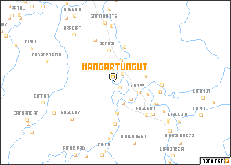
Mangartungut (Isabela, Philippines)Mangartungut is a town in the Isabela region of Philippines. An overview map of the region around Mangartungut is displayed below.
regional and 3d topo map of Mangartungut, Philippines ::
Mangartungut airports ::
The nearest airport is BAG - Baguio, located 114.5 km west of Mangartungut.
Nearby towns ::
Dipangit (1.1km south east) //
Payac (1.8km north east) //
Dalibubun (3.6km north) //
Arubub (3.6km south) //
Lacab (3.6km south east) //
Jones (4.0km south east) //
Diarao (4.8km east) //
Addalam (5.1km south) //
Pangal (5.3km north) //
Disimpit (5.3km east) //
Bacradan (6.0km north) //
Tupas (6.7km south) //
Abolan (7.0km east) //
Fugu Sur (7.2km south east) //
Palagao (7.1km south east) //
Bantug Norte (7.2km east) //
San Antonio Minit (7.6km north west) //
Daligan (7.4km south east) //
Ynemmatan (7.8km south east) //
Barangcuag (8.1km south) //
Masaya Norte (8.8km south east) //
Saguday (9.1km south west) //
Arabiat (10.1km north west) //
Masaya Centro (10.4km south east) //
San Agustin (10.5km south east) //
Masaya Sur (11.6km south east) //
[all distances 'as the bird flies' and approximate] 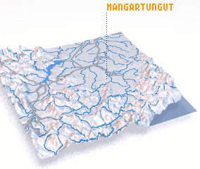 Places with similar names to Mangartungut, Philippines :: Disclaimer :: Information on this page comes without warranty of any kind |
||
|
Where is Mangartungut? Elevation and coordinates ::
Latitude (lat): 16°34'21"N Longitude (lon): 121°40'20"E
Elevation (approx.): 86m (map arrows pan, magnifying glasses zoom) |
||
|
Visiting Mangartungut? Hotel/Accommodation ::
Book a hotel in Mangartungut Travel Guide ::
Buy a travel guide for Philippines rental cars ::
car rental offers GPS waypoint ::
download a GPX waypoint (PoI) of Mangartungut for your GPS receiver
|
||