|
search place name
|
||
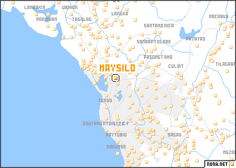
Maysilo (Caloocan, Philippines)Maysilo is a town in the Caloocan region of Philippines. An overview map of the region around Maysilo is displayed below.
regional and 3d topo map of Maysilo, Philippines ::
Maysilo airports ::
The nearest airport is MNL - Manila Ninoy Aquino Intl, located 16.1 km south of Maysilo.
Other airports nearby include BAG - Baguio (194.8 km north), Nearby towns ::
Balongbato (0.0km north) //
San Jose (0.0km north) //
Caloocan (0.4km north) //
Sampalukan (1.8km west) //
Bagong Barrio (1.8km west) //
Masombong (1.8km west) //
Llano (1.8km west) //
Santol (1.8km west) //
Galas (1.8km west) //
Bagbaguin (1.8km west) //
Kaybiga (1.8km west) //
Obrero (1.9km south) //
Calaanan (1.8km east) //
Kangkong (1.8km east) //
Balintawak (1.8km east) //
Tugatog (2.0km north west) //
Sangandaan (2.2km north west) //
Maypajo (2.6km south west) //
Grace Park (2.6km south west) //
Sapang Camias (2.6km south east) //
Malamig (2.6km south east) //
Barilan (2.6km south east) //
Malitlit (2.6km south east) //
Tanque (2.6km north east) //
Marulas (2.7km north) //
Masambong (3.1km east) //
Tonsuya (3.2km north west) //
Baesa (3.2km north east) //
Navotas (3.3km west) //
[all distances 'as the bird flies' and approximate] 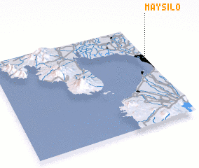 Places with similar names to Maysilo, Philippines ::
Disclaimer :: Information on this page comes without warranty of any kind |
||
|
Where is Maysilo? Elevation and coordinates ::
Latitude (lat): 14°39'0"N Longitude (lon): 120°59'0"E
Elevation (approx.): 21m (map arrows pan, magnifying glasses zoom) |
||
|
Visiting Maysilo? Hotel/Accommodation ::
Book a hotel in Maysilo Travel Guide ::
Buy a travel guide for Philippines rental cars ::
car rental offers GPS waypoint ::
download a GPX waypoint (PoI) of Maysilo for your GPS receiver
|
||