|
search place name
|
||
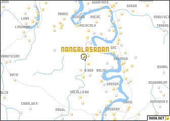
Nangalasaoan (Cagayan, Philippines)Nangalasaoan is a town in the Cagayan region of Philippines. An overview map of the region around Nangalasaoan is displayed below.
regional and 3d topo map of Nangalasaoan, Philippines ::
Nangalasaoan airports ::
The nearest airport is BAG - Baguio, located 188.8 km south west of Nangalasaoan.
Nearby towns ::
Estrada (1.0km south east) //
Malacabibi (1.0km south east) //
Malalam (1.3km north east) //
Cordoba (1.5km north) //
Barung (2.2km south west) //
Iraga (3.5km south) //
Arajat (3.6km south) //
Casinsingan (4.0km north) //
Minanga (4.7km east) //
Balisi (4.8km south east) //
Annafatan (5.1km north) //
Bauan (5.7km south east) //
Ipil (5.8km east) //
Palayag (6.3km north) //
Pangul (6.4km north east) //
Goran (6.4km north east) //
Ugac (6.3km east) //
Pacac New (6.7km north) //
Bangag (6.6km south east) //
Nangattaban (6.8km north east) //
Calenac (6.8km west) //
Santa Rosa (6.8km east) //
Cabaruan (7.9km north) //
Nattanzan (7.8km east) //
Campo (7.8km east) //
Redondo (7.8km east) //
Garab (7.8km east) //
Atulut (7.8km east) //
Aquiliquilao (7.8km east) //
[all distances 'as the bird flies' and approximate] 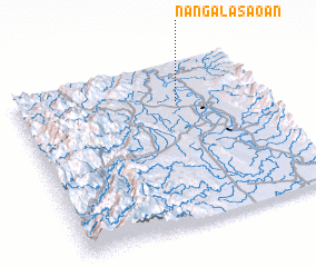 Places with similar names to Nangalasaoan, Philippines ::
// Nangalisan (PH)
// Nangalisan (PH)
// Nangalisan (PH)
// Nangalisan (PH)
// Nangalisan (PH)
// Nangalisan (PH)
// Nangalisan (PH)
Disclaimer :: Information on this page comes without warranty of any kind |
||
|
Where is Nangalasaoan? Elevation and coordinates ::
Latitude (lat): 17°45'25"N Longitude (lon): 121°39'37"E
Elevation (approx.): 12m (map arrows pan, magnifying glasses zoom) |
||
|
Visiting Nangalasaoan? Hotel/Accommodation ::
Book a hotel in Nangalasaoan Travel Guide ::
Buy a travel guide for Philippines rental cars ::
car rental offers GPS waypoint ::
download a GPX waypoint (PoI) of Nangalasaoan for your GPS receiver
|
||