|
search place name
|
||
Pagasinan (Tawi-Tawi, Philippines)Pagasinan is a town in the Tawi-Tawi region of Philippines. An overview map of the region around Pagasinan is displayed below.
regional and 3d topo map of Pagasinan, Philippines ::

Pagasinan airports ::
The nearest airport is LDU - Lahad Datu, located 157.9 km west of Pagasinan.
Other airports nearby include TWU - Tawau (197.3 km south west), Nearby towns ::
Tubig Sallang (0.5km north west) //
Pahut (1.3km south west) //
Pakias (1.8km east) //
Karungdung (2.6km east) //
Bongao (2.9km east) //
Pasiagan (3.0km south) //
Simandangit (3.5km south east) //
Lamion (3.5km east) //
Tongsinak (3.7km east) //
Paniongan (4.3km east) //
Lato-Lato (4.8km east) //
Pababag (5.0km east) //
Lakit-Lakit (5.0km north) //
Sanga-Sanga (5.7km north east) //
Look Pandan (5.9km north east) //
Butol (6.2km east) //
Tongput (6.9km east) //
Malassa (7.4km east) //
Mandulan (8.2km north east) //
Tengultengul (8.3km north east) //
Kulit Kima (10.6km north east) //
[all distances 'as the bird flies' and approximate] 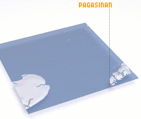 Places with similar names to Pagasinan, Philippines ::
Disclaimer :: Information on this page comes without warranty of any kind |
||
|
Where is Pagasinan? Elevation and coordinates ::
Latitude (lat): 5°2'13"N Longitude (lon): 119°44'52"E
Elevation (approx.): 8m (map arrows pan, magnifying glasses zoom) |
||
|
Visiting Pagasinan? Hotel/Accommodation ::
Book a hotel in Pagasinan Travel Guide ::
Buy a travel guide for Philippines rental cars ::
car rental offers GPS waypoint ::
download a GPX waypoint (PoI) of Pagasinan for your GPS receiver
|
||