|
search place name
|
||
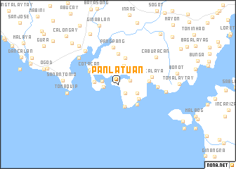
Panlatuan (Sorsogon, Philippines)Panlatuan is a town in the Sorsogon region of Philippines. An overview map of the region around Panlatuan is displayed below.
regional and 3d topo map of Panlatuan, Philippines ::
Panlatuan airports ::
The nearest airport is KLO - Kalibo, located 197.6 km south west of Panlatuan.
Other airports nearby include TAC - Tacloban Daniel Z Romualdez (231.4 km south east), Nearby towns ::
Nugboc (1.7km south east) //
Tenagbac (1.9km east) //
Dapdap (2.3km north) //
Napugan (2.3km west) //
Ginablan (2.6km west) //
Cabiguan (3.2km north) //
Buenavista (3.2km south east) //
Bantigui (3.6km south) //
San Rafael (3.7km west) //
Quiparos (3.8km south east) //
Caporos (4.3km south east) //
Mananteal (4.4km north) //
San Antonio (4.9km north) //
Tiguib (4.8km east) //
Seniepan (4.9km north west) //
Cotacan (4.9km north west) //
Macalaya (5.4km east) //
Pangpang (6.0km north) //
Solangbuaya (6.1km east) //
Pilar (7.3km north west) //
Caburacan (7.4km north east) //
Esmerada (7.5km north west) //
Salvacion (7.5km north west) //
Oras (7.5km north west) //
Socnognan (7.5km north west) //
Lubiano (7.5km north west) //
Lumbang (7.5km north west) //
Logñib (7.5km north west) //
Lipason (7.5km north west) //
[all distances 'as the bird flies' and approximate] 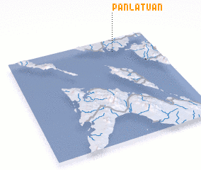 Places with similar names to Panlatuan, Philippines ::
// Ponleiten (DE)
// Pan-lu-tien (TW)
// Panlaitan (PH)
// Panlautan (PH)
// Pan-lu-tien (TW)
// Pan-lu-tien (TW)
Disclaimer :: Information on this page comes without warranty of any kind |
||
|
Where is Panlatuan? Elevation and coordinates ::
Latitude (lat): 12°52'42"N Longitude (lon): 123°43'23"E
Elevation (approx.): 15m (map arrows pan, magnifying glasses zoom) |
||
|
Visiting Panlatuan? Hotel/Accommodation ::
Book a hotel in Panlatuan Travel Guide ::
Buy a travel guide for Philippines rental cars ::
car rental offers GPS waypoint ::
download a GPX waypoint (PoI) of Panlatuan for your GPS receiver
|
||