|
search place name
|
||
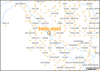
Papaliasen (Pangasinan, Philippines)Papaliasen is a town in the Pangasinan region of Philippines. An overview map of the region around Papaliasen is displayed below.
regional and 3d topo map of Papaliasen, Philippines ::
Papaliasen airports ::
The nearest airport is BAG - Baguio, located 69.8 km north east of Papaliasen.
Other airports nearby include MNL - Manila Ninoy Aquino Intl (163.3 km south east), Nearby towns ::
Dorongan Punta (NaNkm north) //
Urbiztondo (1.7km north east) //
Malibong (1.9km north) //
Pisuac (1.8km east) //
Guimbec (1.8km east) //
Quetaquet (1.9km south) //
Apunit (2.6km north east) //
Tienti (2.6km north west) //
Angatel (2.6km south east) //
Torre (2.6km south west) //
Bulaney (2.6km south west) //
Niog (2.6km south west) //
Dalangiring (2.9km north east) //
Salindo (3.2km south east) //
Bunlalacao (3.4km west) //
Real (3.4km east) //
Consiempre (3.6km east) //
Buenlag (3.6km east) //
Palaba (3.6km east) //
Camambugan (3.6km east) //
Malayo (3.6km east) //
Dalayap (3.7km south) //
Paul (3.7km south) //
Mangatarem (3.9km south west) //
Aguing (4.0km south east) //
Salavante (4.0km south east) //
Guelem (4.1km north west) //
Salabante (4.1km south east) //
Dorongan Sawat (4.1km south east) //
[all distances 'as the bird flies' and approximate] 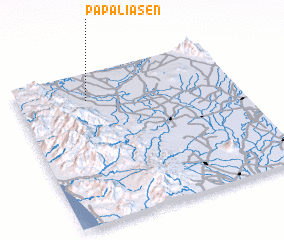 Places with similar names to Papaliasen, Philippines ::
Disclaimer :: Information on this page comes without warranty of any kind |
||
|
Where is Papaliasen? Elevation and coordinates ::
Latitude (lat): 15°49'0"N Longitude (lon): 120°19'0"E
Elevation (approx.): 15m (map arrows pan, magnifying glasses zoom) |
||
|
Visiting Papaliasen? Hotel/Accommodation ::
Book a hotel in Papaliasen Travel Guide ::
Buy a travel guide for Philippines rental cars ::
car rental offers GPS waypoint ::
download a GPX waypoint (PoI) of Papaliasen for your GPS receiver
|
||