|
search place name
|
||
Pasigay (Samar, Philippines)Pasigay is a town in the Samar region of Philippines. An overview map of the region around Pasigay is displayed below.
regional and 3d topo map of Pasigay, Philippines ::

Pasigay airports ::
The nearest airport is TAC - Tacloban Daniel Z Romualdez, located 46.0 km south of Pasigay.
Other airports nearby include NOP - Masbate Mactan Cebu Intl (184.6 km south west), Nearby towns ::
Calampang (1.3km south) //
Patong (1.5km north) //
Barobaybay (2.0km north) //
Malabal (2.2km east) //
Rauis (2.7km east) //
Canticum (2.7km east) //
Calaya-an (2.7km east) //
Pahug (2.8km east) //
Minata (2.8km east) //
Laygayon (2.8km east) //
Tinago (2.9km south) //
Calbiga (3.2km south east) //
Bacquiaran (3.5km south east) //
Pinabacdao (3.7km south) //
Calingonan (3.7km north) //
San Ignacio (3.9km south east) //
Maca-alan (3.9km south east) //
Polañgi (4.1km east) //
Panayoran (4.3km east) //
Obayan (4.7km south) //
Hita-asan (5.0km north) //
Otoc (6.1km south east) //
Bagon (6.2km south) //
Mambug (6.4km south) //
Carabatuan (6.4km north east) //
Buenavista (6.6km south) //
Benobucalan (6.6km north east) //
Bulao (6.7km south east) //
Buaya (7.0km south west) //
[all distances 'as the bird flies' and approximate] 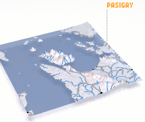 Places with similar names to Pasigay, Philippines ::
Disclaimer :: Information on this page comes without warranty of any kind |
||
|
Where is Pasigay? Elevation and coordinates ::
Latitude (lat): 11°38'32"N Longitude (lon): 124°59'34"E
Elevation (approx.): 4m (map arrows pan, magnifying glasses zoom) |
||
|
Visiting Pasigay? Hotel/Accommodation ::
Book a hotel in Pasigay Travel Guide ::
Buy a travel guide for Philippines rental cars ::
car rental offers GPS waypoint ::
download a GPX waypoint (PoI) of Pasigay for your GPS receiver
|
||