|
search place name
|
||
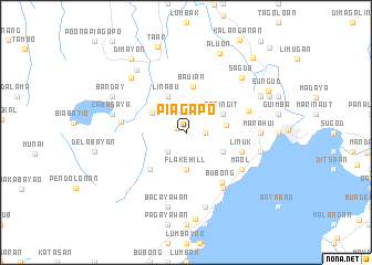
Piagapo (Lanao del Sur, Philippines)Piagapo is a town in the Lanao del Sur region of Philippines. An overview map of the region around Piagapo is displayed below.
regional and 3d topo map of Piagapo, Philippines ::
Piagapo airports ::
The nearest airport is CGY - Ladag Cagayan De Oro, located 64.5 km north east of Piagapo.
Other airports nearby include LGP - Legazpi Pagadian (84.0 km west), CEB - Cebu Cotabato (92.3 km south), DGT - Dumaguete (177.6 km north west), Nearby towns ::
Pantar (1.1km north west) //
Kialdan (1.8km east) //
Tambu (2.6km south west) //
Mintring (2.6km north east) //
Flake Hill (3.7km south) //
Bago-Ingud (3.9km north west) //
Bubu (4.0km east) //
Sapingit (4.1km north east) //
Masabayabac (4.1km south east) //
Linabu (4.1km north west) //
Bauian (4.7km north) //
Capungan (5.2km south west) //
Linuk (5.8km east) //
Batal (5.8km east) //
Bubong (6.1km south east) //
Pawac (6.5km east) //
Kamalig (6.7km south east) //
Marantao (6.7km south east) //
Kawayan (6.7km south east) //
Ma-ol (6.6km south east) //
Talao (6.6km west) //
Marahui (7.3km east) //
Bacolod Chico (7.6km east) //
Cabasaya (7.6km west) //
Bakung (7.6km east) //
Inodaran (7.6km south) //
Bacayawan (7.6km south) //
Bunat (7.8km north west) //
Sagdo (7.8km north east) //
[all distances 'as the bird flies' and approximate] 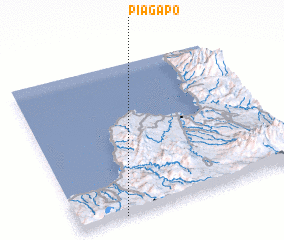 Places with similar names to Piagapo, Philippines ::
Disclaimer :: Information on this page comes without warranty of any kind |
||
|
Where is Piagapo? Elevation and coordinates ::
Latitude (lat): 8°0'0"N Longitude (lon): 124°12'0"E
Elevation (approx.): 891m (map arrows pan, magnifying glasses zoom) |
||
|
Visiting Piagapo? Hotel/Accommodation ::
Book a hotel in Piagapo Travel Guide ::
Buy a travel guide for Philippines rental cars ::
car rental offers GPS waypoint ::
download a GPX waypoint (PoI) of Piagapo for your GPS receiver
|
||