|
search place name
|
||
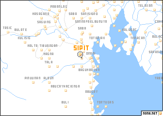
Sipit (Bataan, Philippines)Sipit is a town in the Bataan region of Philippines. An overview map of the region around Sipit is displayed below.
regional and 3d topo map of Sipit, Philippines ::
Sipit airports ::
The nearest airport is MNL - Manila Ninoy Aquino Intl, located 63.0 km south east of Sipit.
Other airports nearby include BAG - Baguio (174.6 km north), Nearby towns ::
Bukal (0.0km north) //
Hinukay na Malaki (0.0km north) //
Tapulao (1.6km north) //
Parang (1.8km east) //
Balut (1.8km east) //
Kuring (1.9km south) //
Talimundoc (2.2km north) //
Orani (2.1km east) //
Kaparañgan (2.4km east) //
San Juan (2.6km south west) //
Malabagat (2.6km south west) //
Lalawigan (3.2km south east) //
Hermosa (3.7km north) //
Batasang (3.6km east) //
Batbat (3.7km north) //
Bagumbayan (4.1km south east) //
Santa Lucia (4.1km south east) //
Batingan (4.0km south east) //
Almacen (4.3km north) //
Samal (4.6km south east) //
Pinak (5.2km north east) //
Totopiak (5.2km north east) //
San Roque (5.2km south east) //
Masera Malapit (5.6km north) //
Calaguiman (5.8km south east) //
Masera Malayo (5.8km north) //
Ibayo (5.8km south) //
Marawag (5.7km west) //
Sibul (5.7km west) //
[all distances 'as the bird flies' and approximate] 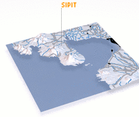 Places with similar names to Sipit, Philippines ::
Disclaimer :: Information on this page comes without warranty of any kind |
||
|
Where is Sipit? Elevation and coordinates ::
Latitude (lat): 14°48'0"N Longitude (lon): 120°31'0"E
Elevation (approx.): 19m (map arrows pan, magnifying glasses zoom) |
||
|
Visiting Sipit? Hotel/Accommodation ::
Book a hotel in Sipit Travel Guide ::
Buy a travel guide for Philippines rental cars ::
car rental offers GPS waypoint ::
download a GPX waypoint (PoI) of Sipit for your GPS receiver
|
||