|
search place name
|
||
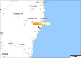
Tinogducan (Negros Oriental, Philippines)Tinogducan is a town in the Negros Oriental region of Philippines. An overview map of the region around Tinogducan is displayed below.
regional and 3d topo map of Tinogducan, Philippines ::
Tinogducan airports ::
The nearest airport is BCD - Bacolod, located 62.0 km north west of Tinogducan.
Other airports nearby include NOP - Masbate Mactan Cebu Intl (73.1 km east), DGT - Dumaguete (99.5 km south), ILO - Iloilo (99.7 km north west), SJI - San Jose Antique (162.5 km west), Nearby towns ::
Otcoton (0.1km west) //
Basak (1.4km south west) //
Binalighotan (2.7km north) //
Matoug (2.9km south west) //
Lonsod (3.7km north) //
Hibaiyo (3.8km north) //
Tinangnan (4.1km north east) //
Panlubiran (5.2km north west) //
Molobolo (6.6km north) //
Lico (6.6km south west) //
Calamba (7.3km south west) //
Maniac (7.4km north west) //
Anopog (7.5km west) //
Tabon (7.8km north) //
Villegas (11.8km south west) //
[all distances 'as the bird flies' and approximate] 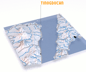 Places with similar names to Tinogducan, Philippines ::
Disclaimer :: Information on this page comes without warranty of any kind |
||
|
Where is Tinogducan? Elevation and coordinates ::
Latitude (lat): 10°14'0"N Longitude (lon): 123°19'0"E
(map arrows pan, magnifying glasses zoom) |
||
|
Visiting Tinogducan? Hotel/Accommodation ::
Book a hotel in Tinogducan Travel Guide ::
Buy a travel guide for Philippines rental cars ::
car rental offers GPS waypoint ::
download a GPX waypoint (PoI) of Tinogducan for your GPS receiver
|
||