|
search place name
|
||
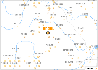
Ungol (Ifugao, Philippines)Ungol is a town in the Ifugao region of Philippines. An overview map of the region around Ungol is displayed below.
regional and 3d topo map of Ungol, Philippines ::
Ungol airports ::
The nearest airport is BAG - Baguio, located 60.6 km south west of Ungol.
Nearby towns ::
Antipolo (0.8km south) //
Batang (1.9km south east) //
Dugio (2.4km north west) //
Caccajja (3.5km north west) //
Bongabong (3.8km west) //
Palao (4.4km north west) //
Dilan (4.3km south east) //
Antipolo (4.7km north west) //
Tublao (5.0km south) //
Lammac (4.9km north east) //
Amduntog (5.1km north) //
Bili (5.1km south east) //
Cawayan (6.1km south) //
Nungawa (6.0km north west) //
Joyo (6.0km west) //
Bayoccan (6.4km south) //
Baguingay (6.5km north) //
Palao (6.9km north) //
Duit (6.9km north) //
Ubuol (8.0km north west) //
Panupnupan (7.9km east) //
Bolog (8.2km north east) //
Tuplac (8.5km north) //
Magingi (8.7km north) //
Aliuagon (9.0km south west) //
Banot (9.3km south west) //
Sabual (9.8km south west) //
Kongokong (9.9km south east) //
Hucab (10.7km north east) //
[all distances 'as the bird flies' and approximate] 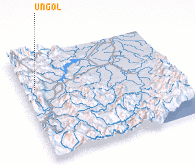 Places with similar names to Ungol, Philippines ::
Disclaimer :: Information on this page comes without warranty of any kind |
||
|
Where is Ungol? Elevation and coordinates ::
Latitude (lat): 16°41'25"N Longitude (lon): 121°5'3"E
Elevation (approx.): 805m (map arrows pan, magnifying glasses zoom) |
||
|
Visiting Ungol? Hotel/Accommodation ::
Book a hotel in Ungol Travel Guide ::
Buy a travel guide for Philippines rental cars ::
car rental offers GPS waypoint ::
download a GPX waypoint (PoI) of Ungol for your GPS receiver
|
||