|
search place name
|
||
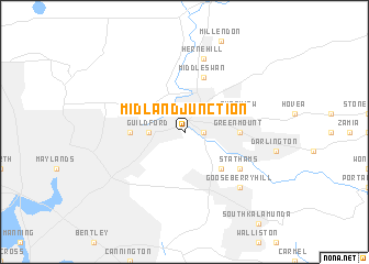
Midland Junction (Western Australia, Australia)Midland Junction is a town in the Western Australia region of Australia. An overview map of the region around Midland Junction is displayed below.
regional and 3d topo map of Midland Junction, Australia ::
Midland Junction airports ::
The nearest airport is PER - Perth Intl, located 5.5 km south west of Midland Junction.
Other airports nearby include JAD - Perth Jandakot (24.6 km south west), Nearby towns ::
Bellevue (1.6km east) //
Guildford (3.1km west) //
Caversham (3.7km north west) //
Ridge Hill (4.9km south east) //
Bassendean (4.7km west) //
Greenmount (4.7km east) //
Swan View (5.1km east) //
Middle Swan (5.8km north) //
Boya (6.0km south east) //
Stathams (6.0km south east) //
Herne Hill (7.6km north) //
Gooseberry Hill (7.3km south east) //
[all distances 'as the bird flies' and approximate] 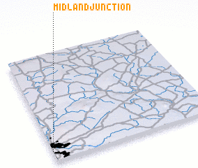 Places with similar names to Midland Junction, Australia ::
// Midland Junction (US)
// Midland Junction (US)
Disclaimer :: Information on this page comes without warranty of any kind |
||
|
Where is Midland Junction? Elevation and coordinates ::
Latitude (lat): 31°54'0"S Longitude (lon): 116°0'0"E
Elevation (approx.): 9m (map arrows pan, magnifying glasses zoom) |
||
|
Visiting Midland Junction? Hotel/Accommodation ::
Book a hotel in Midland Junction Travel Guide ::
Buy a travel guide for Australia rental cars ::
car rental offers GPS waypoint ::
download a GPX waypoint (PoI) of Midland Junction for your GPS receiver
|
||