|
search place name
|
||
Rossglen (New South Wales, Australia)Rossglen is a town in the New South Wales region of Australia. An overview map of the region around Rossglen is displayed below.
regional and 3d topo map of Rossglen, Australia ::

Rossglen airports ::
The nearest airport is CFS - Coff's Harbour Coffs Harbour, located 153.7 km north of Rossglen.
Other airports nearby include TMW - Tamworth (190.7 km west), RCM - Richmond (282.1 km south west), Nearby towns ::
Kew (4.0km north west) //
Kendall (4.9km north west) //
Laurieton (6.6km east) //
Upsalls Creek (7.3km north west) //
[all distances 'as the bird flies' and approximate] 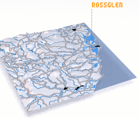 Places with similar names to Rossglen, Australia ::
// Rehschaln (DE)
// Rose Glen (US)
// Roseglen (US)
// Ricigliano (IT)
// Rossiglione (IT)
// Roseglen (US)
// Roskölen (SE)
Disclaimer :: Information on this page comes without warranty of any kind |
||
|
Where is Rossglen? Elevation and coordinates ::
Latitude (lat): 31°40'0"S Longitude (lon): 152°44'0"E
Elevation (approx.): 48m (map arrows pan, magnifying glasses zoom) |
||
|
Visiting Rossglen? Hotel/Accommodation ::
Book a hotel in Rossglen Travel Guide ::
Buy a travel guide for Australia rental cars ::
car rental offers GPS waypoint ::
download a GPX waypoint (PoI) of Rossglen for your GPS receiver
|
||