|
search place name
|
||
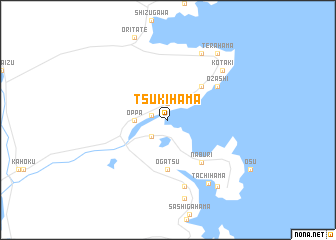
Tsukihama (Miyagi, Japan)Tsukihama is a town in the Miyagi region of Japan. An overview map of the region around Tsukihama is displayed below.
regional and 3d topo map of Tsukihama, Japan ::
Tsukihama airports ::
The nearest airport is SDJ - Sendai, located 67.5 km south west of Tsukihama.
Other airports nearby include GAJ - Yamagata (97.1 km west), HNA - Hanamaki (99.9 km north), AXT - Akita (158.8 km north west), Nearby towns ::
Shirahama (1.9km north) //
Kitakami (1.6km west) //
Nagatsura (2.4km south west) //
Oppa (2.9km west) //
Aikawa (4.7km north east) //
Ogatsu (5.6km south) //
Naburi (5.5km south east) //
Ōzashi (5.7km north east) //
Mizuhama (7.6km south) //
Kotaki (7.3km north east) //
Takihama (8.0km north) //
Tachihama (8.0km south east) //
Wakehama (8.8km south) //
Terahama (8.6km north east) //
Ōhama (8.6km south east) //
[all distances 'as the bird flies' and approximate] 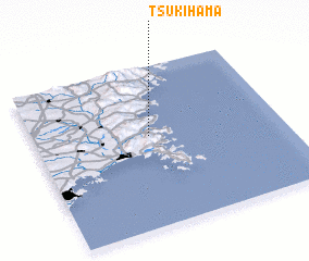 Places with similar names to Tsukihama, Japan ::
Disclaimer :: Information on this page comes without warranty of any kind |
||
|
Where is Tsukihama? Elevation and coordinates ::
Latitude (lat): 38°34'0"N Longitude (lon): 141°28'0"E
Elevation (approx.): -32768m (map arrows pan, magnifying glasses zoom) |
||
|
Visiting Tsukihama? Hotel/Accommodation ::
Book a hotel in Tsukihama Travel Guide ::
Buy a travel guide for Japan rental cars ::
car rental offers GPS waypoint ::
download a GPX waypoint (PoI) of Tsukihama for your GPS receiver
|
||