|
search place name
|
||
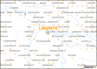
Laguneta (Valverde, Dominican Republic)Laguneta is a town in the Valverde region of Dominican Republic. An overview map of the region around Laguneta is displayed below.
regional and 3d topo map of Laguneta, Dominican Republic ::
Laguneta airports ::
The nearest airport is STI - Santiago Cibao Intl, located 46.1 km east of Laguneta.
Other airports nearby include POP - Puerto Plata Gregorio Luperon Intl (52.2 km north east), CAP - Cap Haitien Intl (125.2 km west), BRX - Barahona Maria Montez Intl (144.2 km south), PAP - Port-au-prince Toussaint Louverture Intl (171.9 km south west), Nearby towns ::
Higüerito Peñuela (1.9km south) //
Amina (1.7km east) //
La Boca de Mao Abajo (4.1km north west) //
Entrada de Mao (4.1km south west) //
Hato Nuevo (4.0km north west) //
Esperanza (4.1km north east) //
Barrio Sur (4.0km north east) //
Cañeo (4.0km north east) //
Batey Amina (4.0km south east) //
Batey Número Tres (5.1km north west) //
Yerba de Guinea (5.1km north west) //
Barrio Yagüita (5.1km north east) //
Barrio Norte (5.1km north east) //
Tierra Fría (5.2km east) //
Peñuela Abajo (5.6km east) //
Hatico (5.6km west) //
Sabana Grande (5.6km west) //
Cruce de Peñuela (6.4km north east) //
Puente San Rafael (6.4km north west) //
Boca de Mao (6.6km north west) //
La Sabana (6.4km south east) //
Baguásima (6.6km south east) //
La Guazumita (6.6km north east) //
Copeyito (7.0km west) //
Los Caños (7.4km north) //
Mao (7.2km west) //
Mao Adentro (7.2km west) //
Sibila (7.2km west) //
Los Pozos (7.6km south) //
[all distances 'as the bird flies' and approximate] 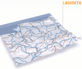 Places with similar names to Laguneta, Dominican Republic ::
Disclaimer :: Information on this page comes without warranty of any kind |
||
|
Where is Laguneta? Elevation and coordinates ::
Latitude (lat): 19°33'0"N Longitude (lon): 71°1'0"W
Elevation (approx.): 80m (map arrows pan, magnifying glasses zoom) |
||
|
Visiting Laguneta? Hotel/Accommodation ::
Book a hotel in Laguneta Travel Guide ::
rental cars ::
car rental offers GPS waypoint ::
download a GPX waypoint (PoI) of Laguneta for your GPS receiver
|
||