|
search place name
|
||
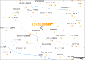
Sokolovskiy (Belarus)Sokolovskiy is a town in Belarus. An overview map of the region around Sokolovskiy is displayed below.
regional and 3d topo map of Sokolovskiy, Belarus ::
Sokolovskiy airports ::
The nearest airport is GME - Gomel, located 62.4 km south east of Sokolovskiy.
Nearby towns ::
Osinovka (2.0km south west) //
Gorodok (3.2km east) //
Boshitsa (5.6km south) //
Fundamenka (3.8km south west) //
Novaya Sloboda (3.9km west) //
Merkulovichi (5.4km south east) //
Berestovets (6.6km north) //
Borovaya Buda (4.5km north east) //
Golovachi (7.5km south) //
Tserkovʼye (7.5km south) //
Novaya Fundamenka (5.8km south west) //
Nikolayevka (6.9km south west) //
Novyy Kryvsk (8.3km north) //
Shilovichi (6.1km south east) //
[all distances 'as the bird flies' and approximate] 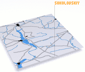 Places with similar names to Sokolovskiy, Belarus ::
// Sokolovskiy (KZ)
// Sokolovskiy (RU)
// Sokolovskiy (RU)
// Sokolovskiy (RU)
// Sokolovskiy (RU)
// Sokolovskiy (RU)
// Sokolovskiy (RU)
// Sokolovskiy (RU)
// Sokolovskiy (RU)
// Sokolovskiy (RU)
Disclaimer :: Information on this page comes without warranty of any kind |
||
|
Where is Sokolovskiy? Elevation and coordinates ::
Latitude (lat): 53°1'0"N Longitude (lon): 30°34'0"E
Elevation (approx.): 155m (map arrows pan, magnifying glasses zoom) |
||
|
Visiting Sokolovskiy? Hotel/Accommodation ::
Book a hotel in Sokolovskiy Travel Guide ::
Buy a travel guide for Belarus rental cars ::
car rental offers GPS waypoint ::
download a GPX waypoint (PoI) of Sokolovskiy for your GPS receiver
|
||