|
search place name
|
||
Stavry (Vitsyebskaya Voblastsʼ, Belarus)Stavry is a town in the Vitsyebskaya Voblastsʼ region of Belarus. An overview map of the region around Stavry is displayed below.
regional and 3d topo map of Stavry, Belarus ::

Stavry airports ::
The nearest airport is VTB - Vitebsk, located 72.5 km north of Stavry.
Other airports nearby include GME - Gomel (220.2 km south), Nearby towns ::
Svistelki (1.6km west) //
Larinovka (4.1km north) //
Ponizovʼye (4.3km south west) //
Poddubtsy (4.1km south west) //
Yelizavetino (7.3km south) //
Puglyai (6.5km south east) //
Pashino (7.8km north) //
Kharʼkovka (5.6km south west) //
Krashino (4.9km east) //
Syaglovo (7.0km north east) //
Morozova (8.9km south) //
Brili (6.5km north east) //
[all distances 'as the bird flies' and approximate] 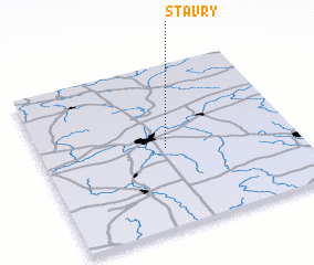 Places with similar names to Stavry, Belarus ::
Disclaimer :: Information on this page comes without warranty of any kind |
||
|
Where is Stavry? Elevation and coordinates ::
Latitude (lat): 54°28'49"N Longitude (lon): 30°29'29"E
Elevation (approx.): 209m (map arrows pan, magnifying glasses zoom) |
||
|
Visiting Stavry? Hotel/Accommodation ::
Book a hotel in Stavry Travel Guide ::
Buy a travel guide for Belarus rental cars ::
car rental offers GPS waypoint ::
download a GPX waypoint (PoI) of Stavry for your GPS receiver
|
||