|
search place name
|
||
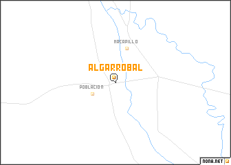
Algarrobal (Salta, Argentina)Algarrobal is a town in the Salta region of Argentina. An overview map of the region around Algarrobal is displayed below.
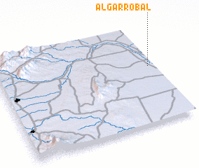
regional and 3d topo map of Algarrobal, Argentina ::
Algarrobal airports ::
The nearest airport is JUJ - Jujuy, located 156.3 km north west of Algarrobal.
Other airports nearby include SLA - Salta (159.1 km north west), TUC - Tucuman Teniente Benjamin Matienzo (190.7 km south west), Nearby towns ::
 Places with similar names to Algarrobal, Argentina ::
// Algarrobilla (BO)
// Algarrobilla (BO)
// Algarrobillo (BO)
// Algarrobal (PA)
// Al Karābilah (IQ)
// Algarrobal (PE)
// Algarrobal (PE)
// Algarrobal (PE)
// Algarrobal (PE)
// Algarrobal (PE)
Disclaimer :: Information on this page comes without warranty of any kind |
||
|
Where is Algarrobal? Elevation and coordinates ::
Latitude (lat): 25°25'0"S Longitude (lon): 64°2'0"W
Elevation (approx.): 333m (map arrows pan, magnifying glasses zoom) |
||
|
Visiting Algarrobal? Hotel/Accommodation ::
Book a hotel in Algarrobal Travel Guide ::
Buy a travel guide for Argentina rental cars ::
car rental offers GPS waypoint ::
download a GPX waypoint (PoI) of Algarrobal for your GPS receiver
|
||